Transport Functions
Rail
Road
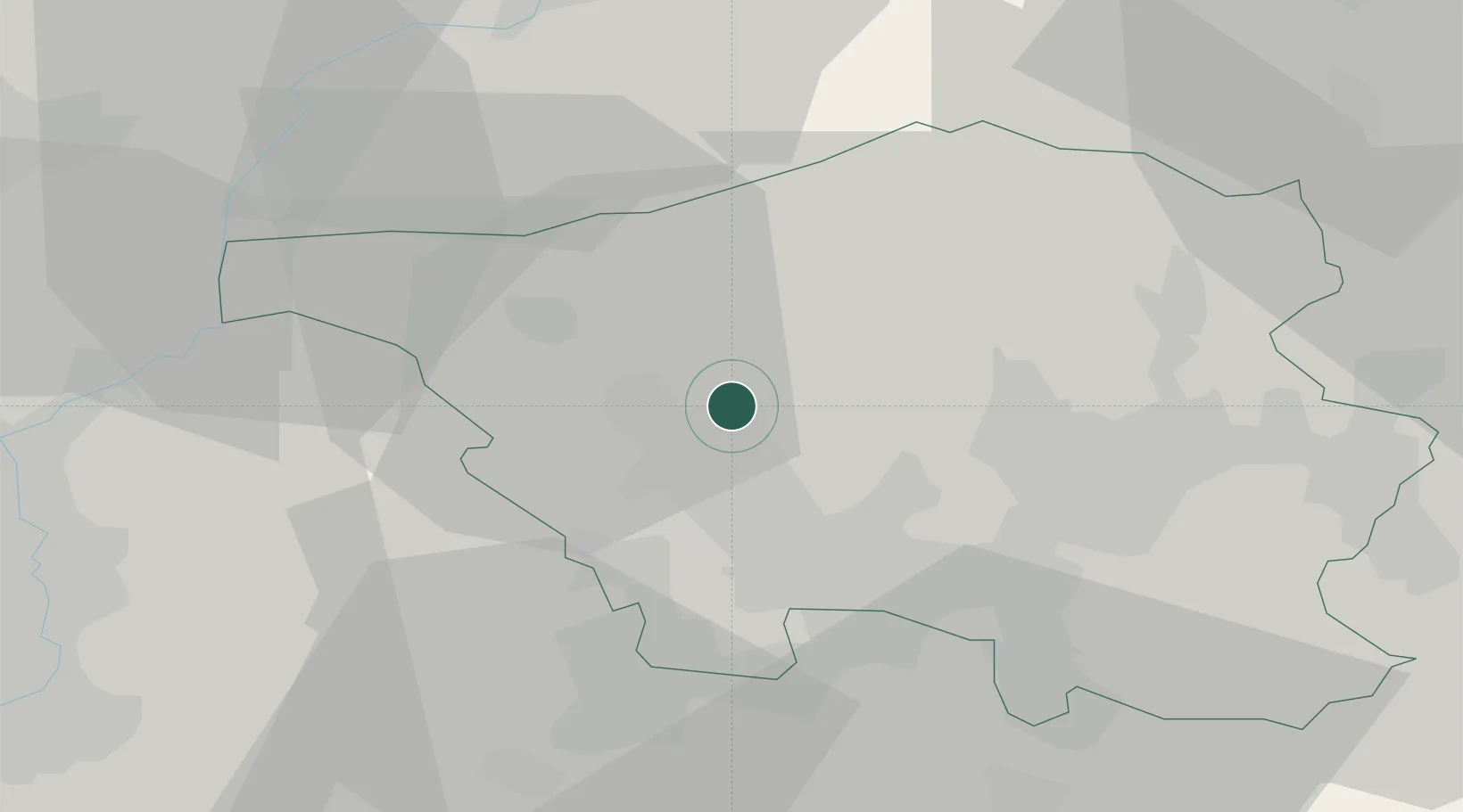
Hub Profile
Place type
Local administrative seat
Region
Saarland
Population
9,715
Time zone
Europe/Berlin
Elevation
238 m
Location
Nearby Logistics Neighbours
Cities
- 1Dillingen5 km
- 2Rehlingen-Siersburg7 km
- 3Ensdorf9 km
- 4Bous11 km
- 5Wadgassen13 km
Airports
Trade Zones
- 1ZFU La Cité Behren-lès-Forbach26 km
- 2Luxembourg Free Port50 km
- 3ZFU Woippy-Metz53 km
- 4ZFU Metz55 km
- 5ZFU Maxéville, Laxou, et de Nancy88 km
DatabookThe Record of Consolidated Knowledge
Germany beyond logistics?