Transport Functions
Rail
Road
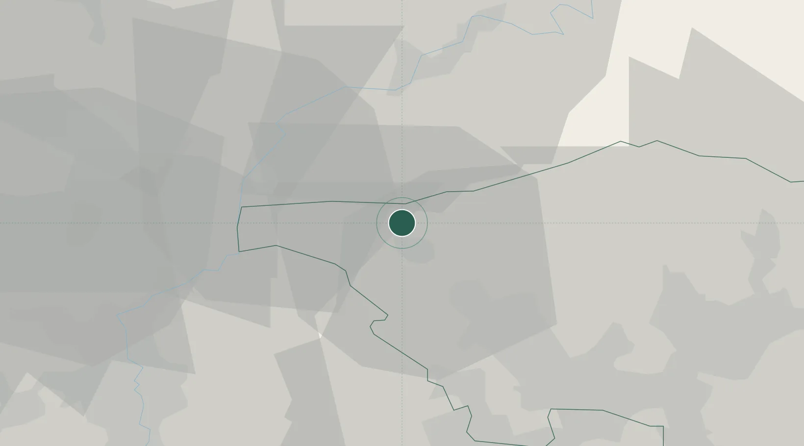
Hub Profile
Place type
Local administrative seat
Region
Saarland
Population
3,279
Time zone
Europe/Berlin
Elevation
177 m
Location
Nearby Logistics Neighbours
Cities
- 1Taben6 km
- 2Trassem10 km
- 3Serrig10 km
- 4Rehlingen-Siersburg14 km
- 5Mandern16 km
Airports
Trade Zones
- 1Luxembourg Free Port31 km
- 2ZFU La Cité Behren-lès-Forbach44 km
- 3ZFU Woippy-Metz51 km
- 4ZFU Metz54 km
- 5ZFU Maxéville, Laxou, et de Nancy94 km
DatabookThe Record of Consolidated Knowledge
Germany beyond logistics?