Transport Functions
Port
Rail
Road
Hub Profile
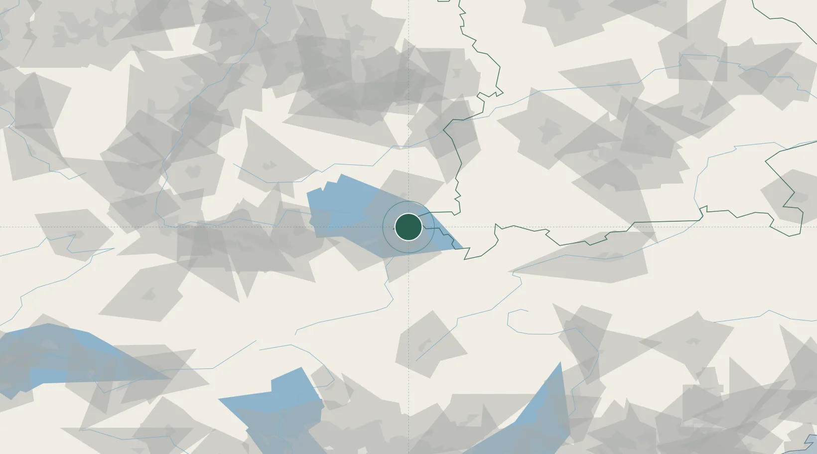
Place type
District seat
Region
Bavaria
Population
24,518
Time zone
Europe/Berlin
Elevation
406 m
Location
Nearby Logistics Neighbours
Cities
- 1Wasserburg am Bodensee4 km
- 2Reuthe6 km
- 3Nonnenhorn6 km
- 4Fussach8 km
- 5Kressbronn am Bodensee8 km
Ports
- 1Porto Di Lido-Venezia317 km
- 2Porto Di Chioggia327 km
- 3Nogaro332 km
- 4Grado344 km
- 5Monfalcone354 km
Airports
Trade Zones
- 1Livigno Free Trade Zone118 km
- 2ZFU Mulhouse177 km
- 3ZFU Neuhof180 km
- 4ZFU Hautepierre188 km
- 5Magazzini Generali Con Chiasso198 km
DatabookThe Record of Consolidated Knowledge
Germany beyond logistics?