UN/LOCODE hub · Germany
DENFF

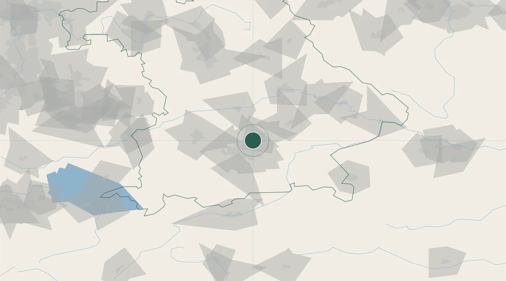
Neufahrn bei Freising

48.3167°, 11.6667°
18,255
Population
2
Transport functions

Transport Functions

Rail
Road
UN/LOCODE

Hub Profile

Place type
Populated place
GeoNames
Region
Bavaria
GeoNames
Population
18,255
GeoNames
Time zone
Europe/Berlin
GeoNames
Elevation
462 m
GeoNames

Location

Location of DENFF
Natural Earth 10m (public domain) · Bavaria · DENFF · 48.32, 11.67GoogleOSMYandex

Nearby Logistics Neighbours

Cities
  1. 1Massenhausen5 km
  2. 2Hollern5 km
  3. 3Durneck7 km
  4. 4Kranzberg10 km
  5. 5Oberding14 km
Nearest neighbours — logibook spatial index (haversine) over the source coordinates
Ports
  1. 1Nogaro306 km
  2. 2Monfalcone316 km
  3. 3Grado316 km
  4. 4Porto Di Lido-Venezia328 km
  5. 5Trieste336 km
Nearest neighbours — logibook spatial index (haversine) over the source coordinates
Airports
  1. 1Munich Airport10 km
  2. 2Altstetten Ultralight Field28 km
  3. 3Landshut Airfield35 km
  4. 4Oberpfaffenhofen Airport39 km
  5. 5Ingolstadt Manching Airport45 km
Nearest neighbours — logibook spatial index (haversine) over the source coordinates
Trade Zones
  1. 1Freeport of Deggendorf109 km
  2. 2Livigno Free Trade Zone231 km
  3. 3Podbořany Industrial Zone247 km
  4. 4Žatec - Triangle Strategic Industrial Zone267 km
  5. 5Most - Joseph Industrial Zone280 km
Nearest neighbours — logibook spatial index (haversine) over the source coordinates
DatabookThe Record of Consolidated Knowledge
Germany beyond logistics?
Browse databook

All Sources

LocationsUN/LOCODE
UN/LOCODE — free
LocationsGeoNames
CC BY 4.0
Portsthe NGA World Port Index
Public domain (US gov)
AirportsOurAirports
Public domain
Trade Zonesthe World Bank SEZ database
CC BY 4.0
Trade ZonesOpen Zone Map
CC BY
← Germany locations