Transport Functions
Rail
Road
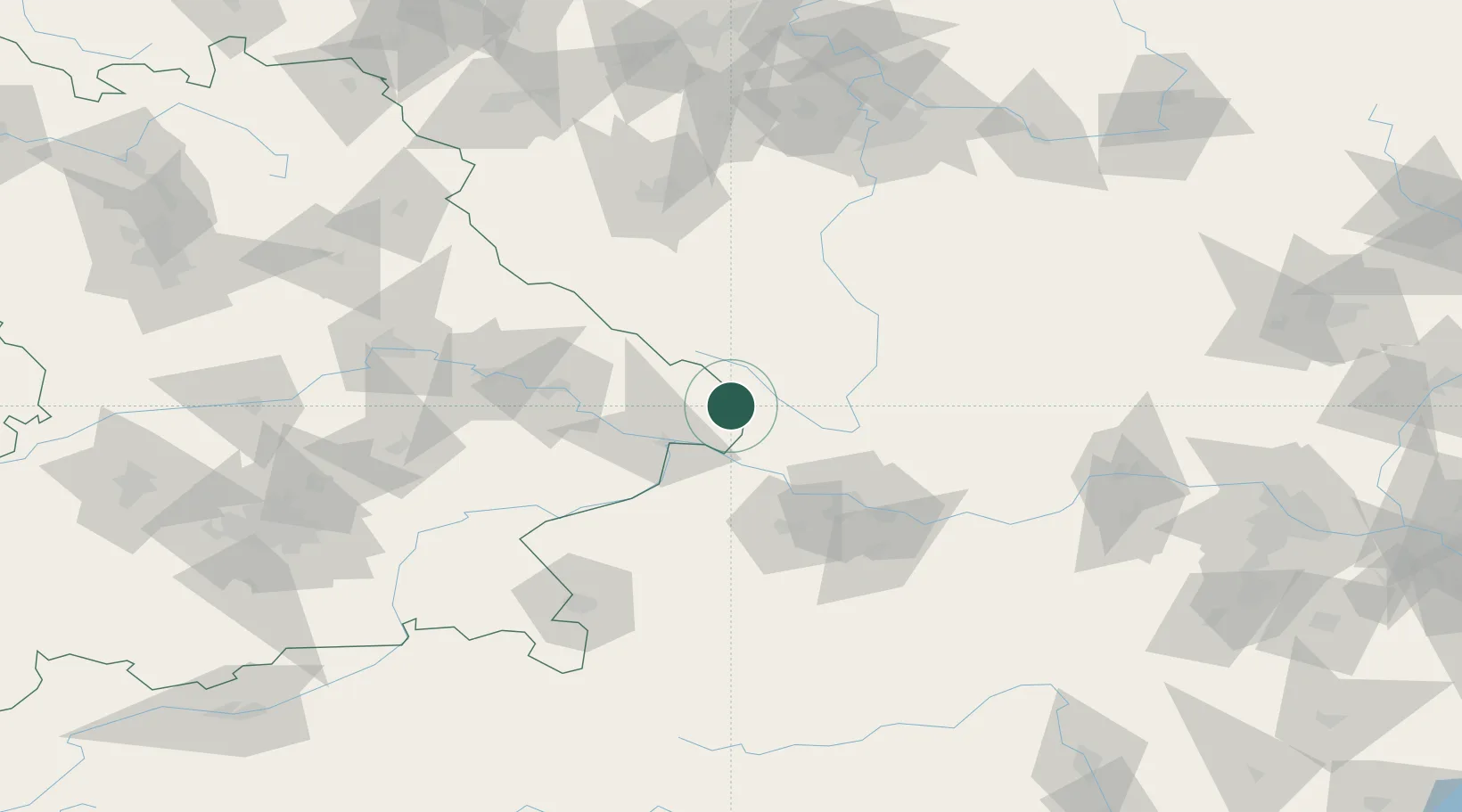
Hub Profile
Place type
Local administrative seat
Region
Bavaria
Population
4,480
Time zone
Europe/Berlin
Elevation
668 m
Location
Nearby Logistics Neighbours
Cities
- 1Sonnen10 km
- 2Falkenstein13 km
- 3Freyung16 km
- 4Röhrnbach16 km
- 5Chlum17 km
Ports
- 1Monfalcone330 km
- 2Nogaro336 km
- 3Grado341 km
- 4Trieste345 km
- 5Muggia350 km
Airports
- 1České Budějovice South Bohemian Airport54 km
- 2Linz-Hörsching Airport66 km
- 3Plzeň-Líně Airport109 km
- 4Salzburg Airport120 km
- 5Landshut Airfield129 km
Trade Zones
DatabookThe Record of Consolidated Knowledge
Germany beyond logistics?