Transport Functions
Multimodal
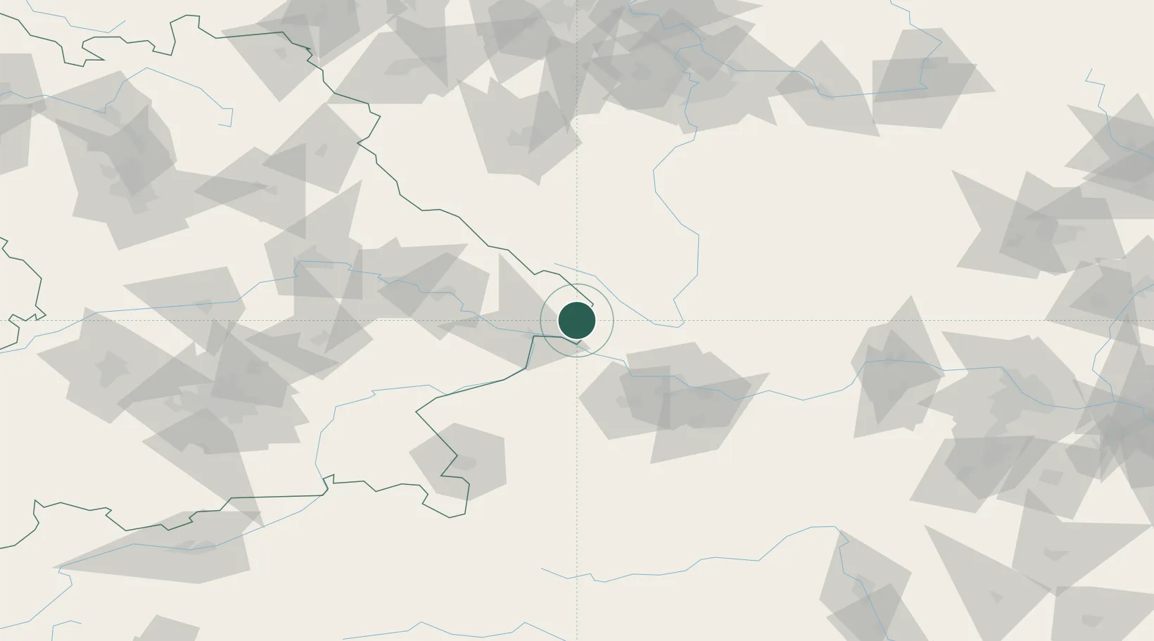
Hub Profile
Place type
Local administrative seat
Region
Bavaria
Population
1,528
Time zone
Europe/Berlin
Elevation
802 m
Location
Nearby Logistics Neighbours
Cities
- 1Neureichenau10 km
- 2Falkenstein11 km
- 3Obernzell12 km
- 4Röhrnbach15 km
- 5Hutthurm17 km
Ports
- 1Monfalcone321 km
- 2Nogaro326 km
- 3Grado332 km
- 4Trieste335 km
- 5Muggia341 km
Airports
- 1Linz-Hörsching Airport59 km
- 2České Budějovice South Bohemian Airport61 km
- 3Salzburg Airport111 km
- 4Plzeň-Líně Airport117 km
- 5Landshut Airfield125 km
Trade Zones
DatabookThe Record of Consolidated Knowledge
Germany beyond logistics?