Transport Functions
Rail
Road
Hub Profile
Place type
Populated place
Region
Jihočeský kraj
Time zone
Europe/Prague
Elevation
793 m
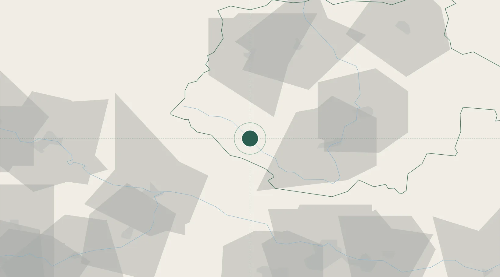
Location
Nearby Logistics Neighbours
Cities
- 1Neureichenau17 km
- 2Myto/Cesky Krumlov20 km
- 3Schlägl24 km
- 4Sonnen25 km
- 5Freyung27 km
Ports
- 1Monfalcone342 km
- 2Nogaro348 km
- 3Grado354 km
- 4Trieste356 km
- 5Muggia362 km
Airports
- 1České Budějovice South Bohemian Airport39 km
- 2Linz-Hörsching Airport71 km
- 3Plzeň-Líně Airport103 km
- 4Salzburg Airport136 km
- 5Václav Havel Airport Prague141 km
Trade Zones
DatabookThe Record of Consolidated Knowledge
Czechia beyond logistics?