Transport Functions
Rail
Road
Hub Profile
Place type
Populated place
Region
Baden-Wurttemberg
Time zone
Europe/Berlin
Elevation
564 m
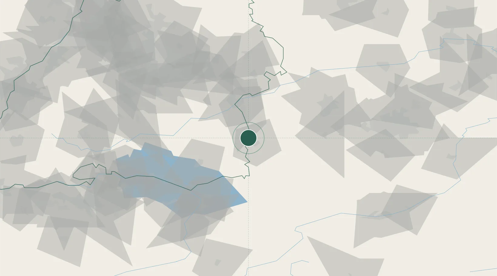
Location
Nearby Logistics Neighbours
Cities
- 1Unteropfingen2 km
- 2Fellheim3 km
- 3Niederrieden5 km
- 4Tannheim6 km
- 5Rot an der Rot9 km
Ports
- 1Porto Di Lido-Venezia342 km
- 2Nogaro344 km
- 3Porto Di Chioggia355 km
- 4Grado356 km
- 5Monfalcone363 km
Airports
- 1Memmingen Allgau Airport11 km
- 2Laupheim Air Base24 km
- 3Mengen-Hohentengen Airfield55 km
- 4Lechfeld Air Base57 km
- 5Bodensee Airport Friedrichshafen62 km
Trade Zones
- 1Livigno Free Trade Zone169 km
- 2ZFU Neuhof182 km
- 3ZFU Hautepierre189 km
- 4ZFU Mulhouse210 km
- 5Freeport of Deggendorf224 km
DatabookThe Record of Consolidated Knowledge
Germany beyond logistics?