Transport Functions
Port
Rail
Road
Hub Profile
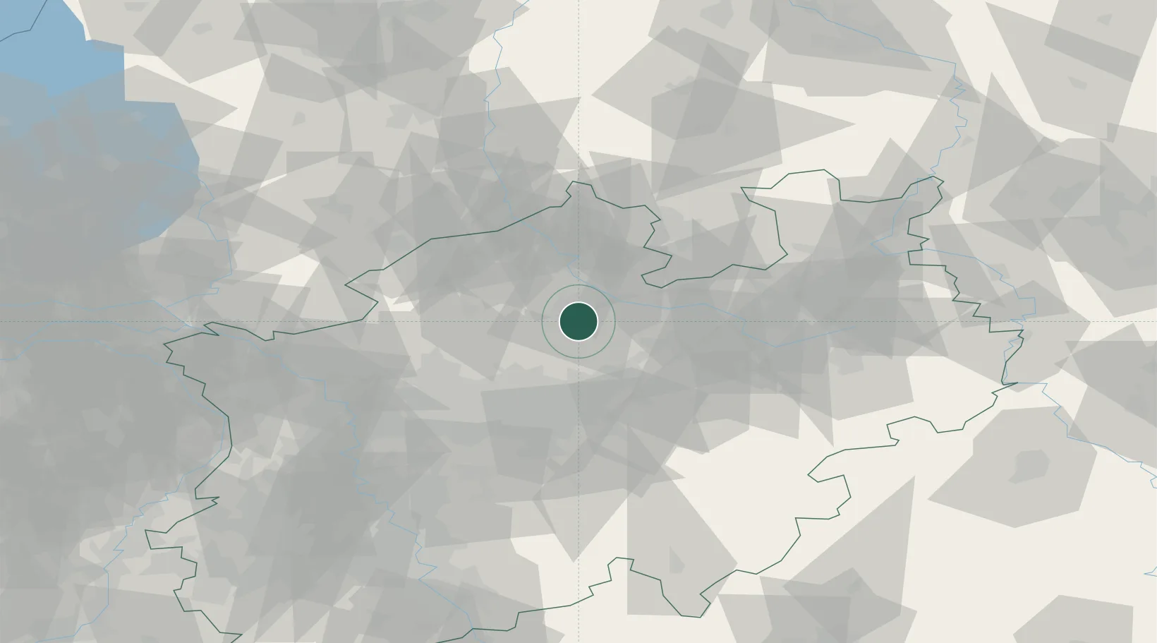
Place type
Populated place
Region
North Rhine-Westphalia
Time zone
Europe/Berlin
Elevation
69 m
Location
Nearby Logistics Neighbours
Cities
- 1Amelsbüren3 km
- 2Münster7 km
- 3Drensteinfurt13 km
- 4Hiddingsel18 km
- 5Nordkirchen20 km
Airports
- 1Münster Osnabrück Airport26 km
- 2Dortmund Airport43 km
- 3Bielefeld Airport63 km
- 4Twente Airport66 km
- 5Paderborn Lippstadt Airport75 km
Trade Zones
DatabookThe Record of Consolidated Knowledge
Germany beyond logistics?