Transport Functions
Multimodal
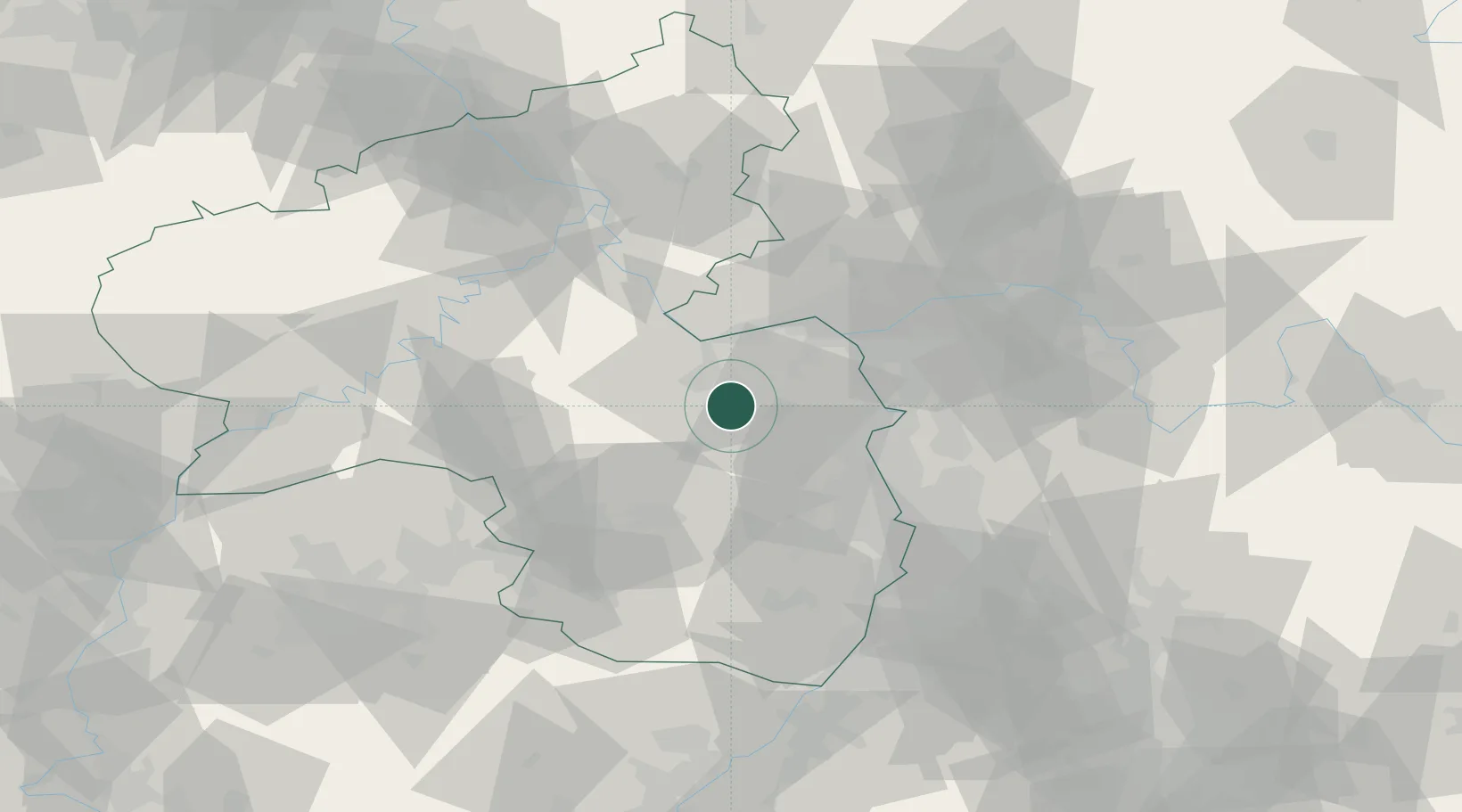
Hub Profile
Place type
Local administrative seat
Region
Rheinland-Pfalz
Population
903
Time zone
Europe/Berlin
Elevation
163 m
Location
Nearby Logistics Neighbours
Cities
- 1Gau-Bickelheim7 km
- 2Münsterappel8 km
- 3Heimersheim9 km
- 4Orbis10 km
- 5Bermersheim10 km
Airports
- 1Mainz-Finthen Airfield24 km
- 2Wiesbaden Army Airfield39 km
- 3Ramstein Air Base47 km
- 4Frankfurt Main Airport50 km
- 5Frankfurt-Egelsbach Airport52 km
Trade Zones
- 1ZFU La Cité Behren-lès-Forbach102 km
- 2Luxembourg Free Port127 km
- 3ZFU Hautepierre134 km
- 4ZFU Neuhof139 km
- 5ZFU Woippy-Metz149 km
DatabookThe Record of Consolidated Knowledge
Germany beyond logistics?