Transport Functions
Multimodal
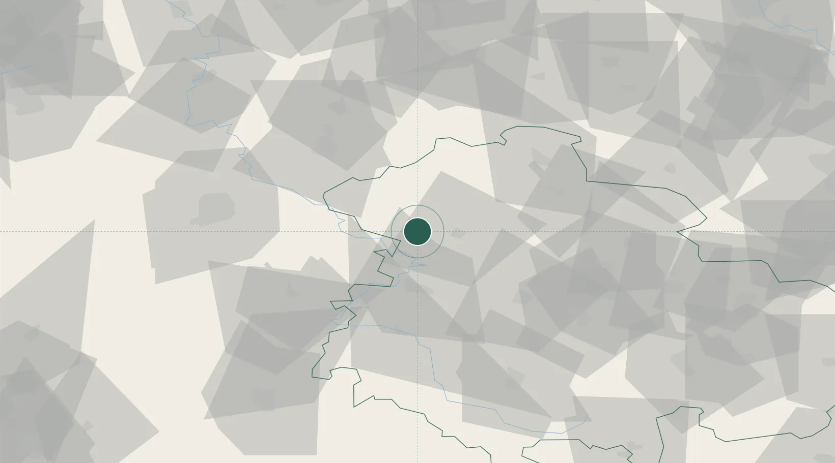
Hub Profile
Region
TH
Location
Nearby Logistics Neighbours
Cities
- 1Effelder5 km
- 2Dingelstädt9 km
- 3Geismar10 km
- 4Mühlhausen10 km
- 5Frieda12 km
Airports
- 1Eisenach-Kindel Airport28 km
- 2Erfurt-Weimar Airport53 km
- 3Kassel Airport67 km
- 4Fritzlar Army Airfield72 km
- 5Braunschweig-Wolfsburg Airport124 km
Trade Zones
DatabookThe Record of Consolidated Knowledge
Germany beyond logistics?