Transport Functions
Rail
Road
Multimodal
Hub Profile
Region
MV
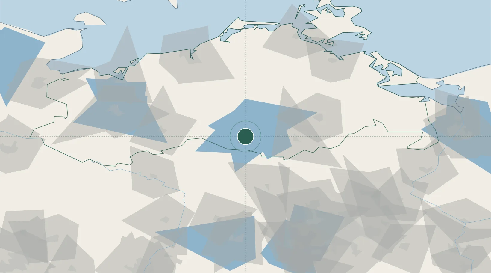
Location
Nearby Logistics Neighbours
Cities
- 1Rechlin10 km
- 2Satow15 km
- 3Malchow15 km
- 4Meyenburg/Prignitz24 km
- 5Wittstock an der Dosse27 km
Ports
- 1Rostock85 km
- 2Wismar94 km
- 3Wolgast108 km
- 4Stralsund109 km
- 5Swinoujscie125 km
Airports
- 1Neubrandenburg Trollenhagen Airport53 km
- 2Rostock-Laage Airport63 km
- 3Heringsdorf Airport116 km
- 4Berlin Brandenburg Airport129 km
- 5Lübeck Blankensee Airport133 km
Trade Zones
- 1Swinoujscie Duty Free Zone124 km
- 2Szczecin Duty Free Zone131 km
- 3Kostrzyń-Słubice SEZ162 km
- 4Freeport of Kiel191 km
- 5MTS Malmö Transport and Spedition249 km
DatabookThe Record of Consolidated Knowledge
Germany beyond logistics?