Transport Functions
Multimodal
Hub Profile
Place type
Populated place
Region
Mecklenburg-Vorpommern
Population
7,384
Time zone
Europe/Berlin
Elevation
77 m
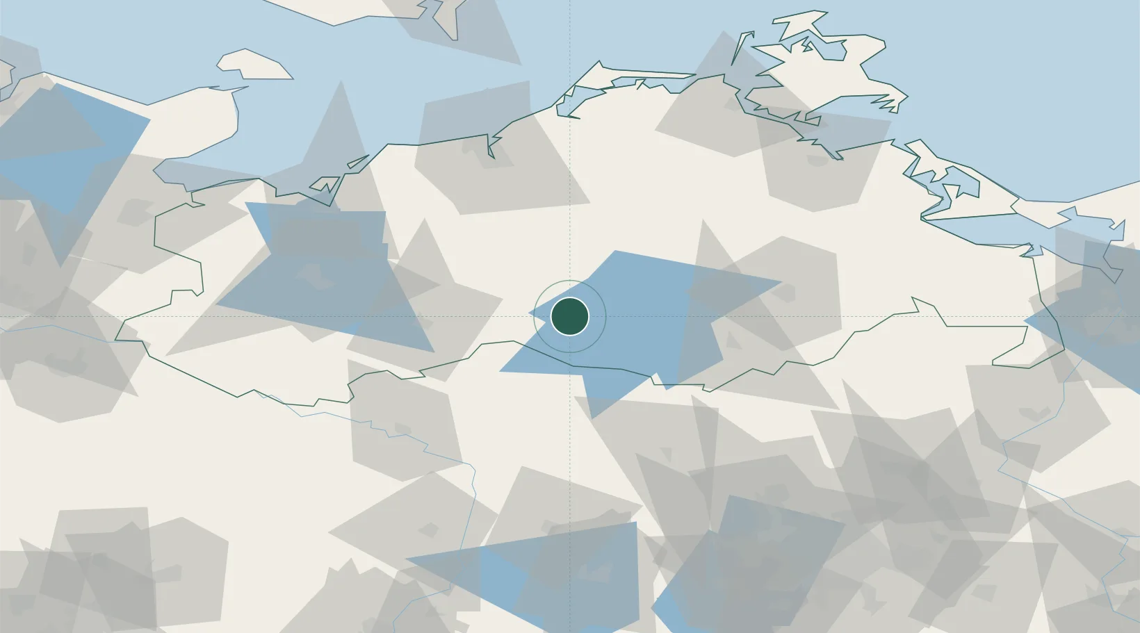
Location
Nearby Logistics Neighbours
Cities
- 1Satow6 km
- 2Röbel/Müritz15 km
- 3Meyenburg/Prignitz20 km
- 4Gallin21 km
- 5Moltzow22 km
Ports
- 1Rostock73 km
- 2Wismar79 km
- 3Stralsund105 km
- 4Wolgast111 km
- 5Lubeck-Travemunde115 km
Airports
- 1Rostock-Laage Airport51 km
- 2Neubrandenburg Trollenhagen Airport61 km
- 3Lübeck Blankensee Airport118 km
- 4Heringsdorf Airport123 km
- 5Berlin Brandenburg Airport143 km
Trade Zones
- 1Swinoujscie Duty Free Zone131 km
- 2Szczecin Duty Free Zone143 km
- 3Freeport of Kiel176 km
- 4Kostrzyń-Słubice SEZ177 km
- 5MTS Malmö Transport and Spedition242 km
DatabookThe Record of Consolidated Knowledge
Germany beyond logistics?