Transport Functions
Multimodal
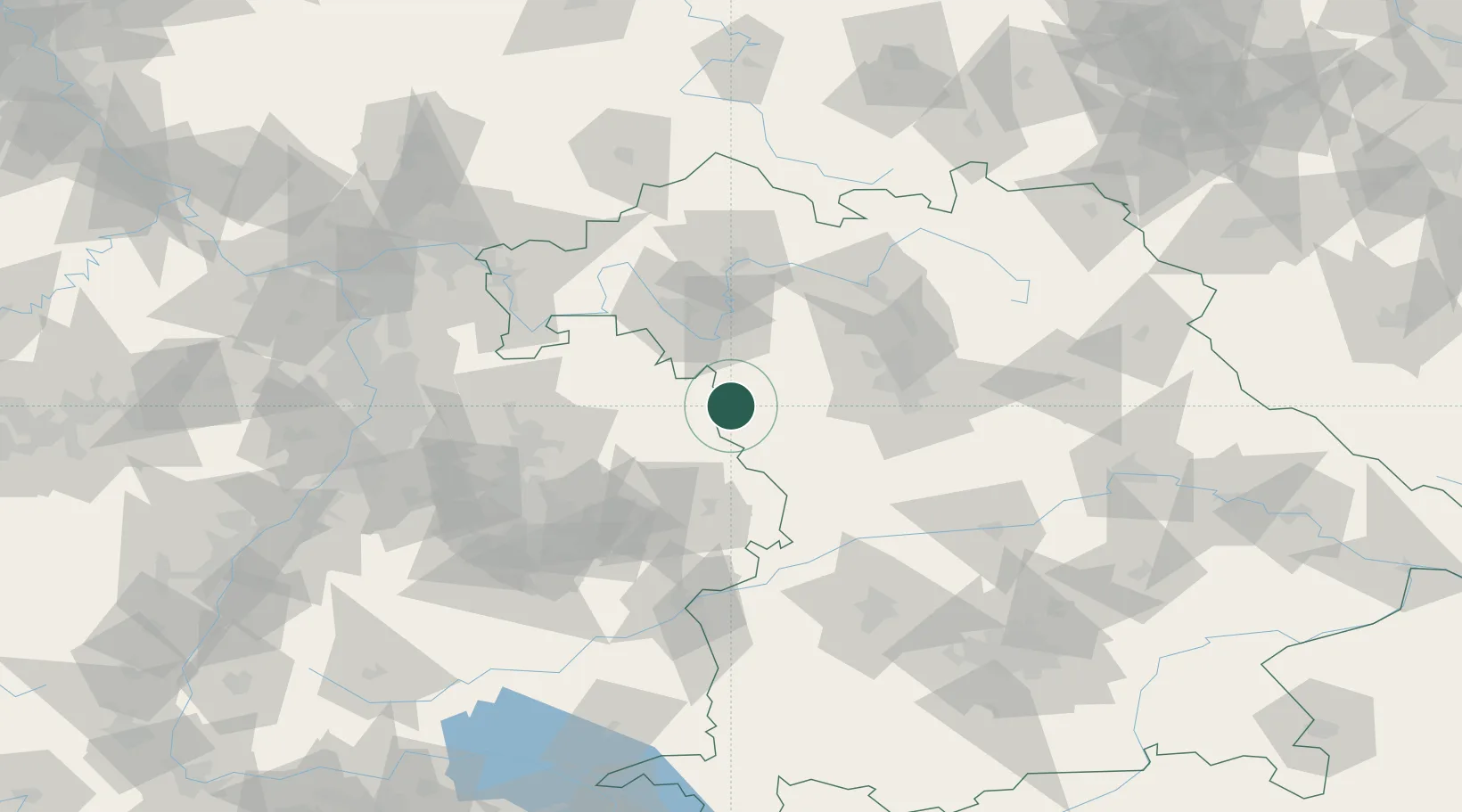
Hub Profile
Place type
Local administrative seat
Region
Bavaria
Population
1,826
Time zone
Europe/Berlin
Elevation
369 m
Location
Nearby Logistics Neighbours
Cities
- 1Insingen6 km
- 2Schillingsfürst (Ansbach)9 km
- 3Dombühl13 km
- 4Marktbergel16 km
- 5Leutershausen (Ansbach)17 km
Airports
- 1Niederstetten Army Air Base18 km
- 2Adolf Würth Airport40 km
- 3Nuremberg Airport66 km
- 4Bamberg-Breitenau Airfield82 km
- 5Stuttgart Airport102 km
Trade Zones
- 1ZFU Neuhof199 km
- 2ZFU Hautepierre201 km
- 3Freeport of Deggendorf205 km
- 4ZFU La Cité Behren-lès-Forbach238 km
- 5Podbořany Industrial Zone250 km
DatabookThe Record of Consolidated Knowledge
Germany beyond logistics?