UN/LOCODE hub · Germany
DELMF

Leutershausen (Ansbach)

49.3000°, 10.4167°
1
Transport functions

Transport Functions

Multimodal
UN/LOCODE

Hub Profile

Region
BY
GeoNames

Location

Location of DELMF
Natural Earth 10m (public domain) · BY · DELMF · 49.30, 10.42GoogleOSMYandex

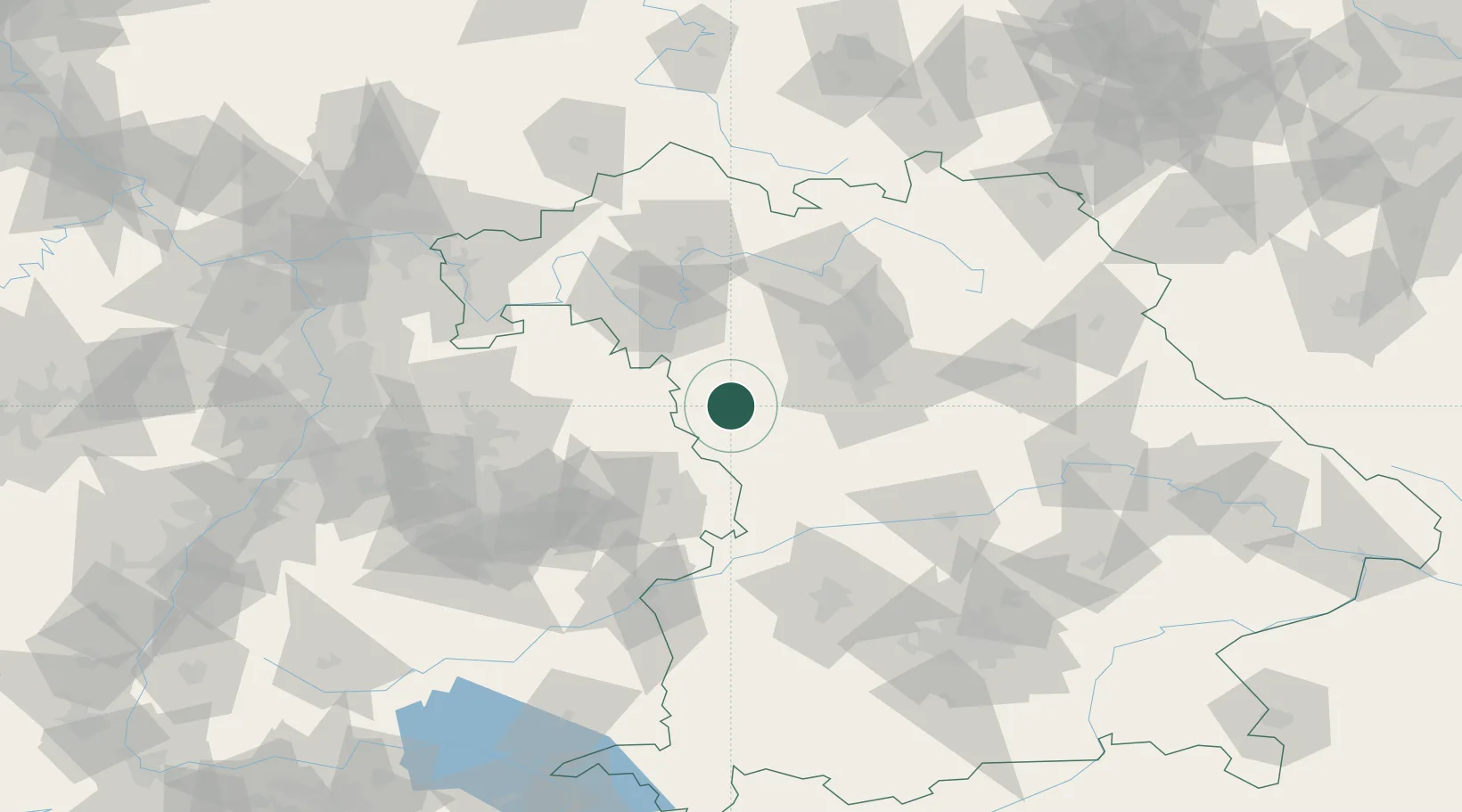
Nearby Logistics Neighbours

Cities
  1. 1Lehrberg8 km
  2. 2Schillingsfürst (Ansbach)11 km
  3. 3Dombühl11 km
  4. 4Ansbach12 km
  5. 5Wieseth16 km
Nearest neighbours — logibook spatial index (haversine) over the source coordinates
Ports
  1. 1Bremen441 km
  2. 2Nogaro445 km
  3. 3Oldenburg451 km
  4. 4Grado455 km
  5. 5Monfalcone456 km
Nearest neighbours — logibook spatial index (haversine) over the source coordinates
Airports
  1. 1Niederstetten Army Air Base35 km
  2. 2Adolf Würth Airport50 km
  3. 3Nuremberg Airport53 km
  4. 4Bamberg-Breitenau Airfield78 km
  5. 5Neuburg Air Base88 km
Nearest neighbours — logibook spatial index (haversine) over the source coordinates
Trade Zones
  1. 1Freeport of Deggendorf188 km
  2. 2ZFU Neuhof212 km
  3. 3ZFU Hautepierre214 km
  4. 4Podbořany Industrial Zone238 km
  5. 5ZFU La Cité Behren-lès-Forbach254 km
Nearest neighbours — logibook spatial index (haversine) over the source coordinates
DatabookThe Record of Consolidated Knowledge
Germany beyond logistics?
Browse databook

All Sources

LocationsUN/LOCODE
UN/LOCODE — free
Portsthe NGA World Port Index
Public domain (US gov)
AirportsOurAirports
Public domain
Trade Zonesthe World Bank SEZ database
CC BY 4.0
Trade ZonesOpen Zone Map
CC BY
← Germany locations