Transport Functions
Multimodal
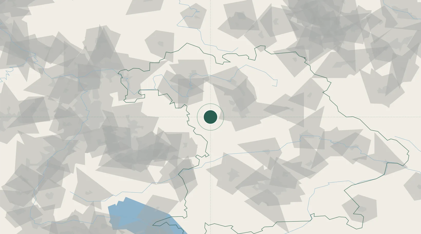
Hub Profile
Place type
Populated place
Region
Bavaria
Population
3,104
Time zone
Europe/Berlin
Elevation
423 m
Location
Nearby Logistics Neighbours
Cities
- 1Ansbach6 km
- 2Leutershausen (Ansbach)8 km
- 3Marktbergel17 km
- 4Petersaurach17 km
- 5Wieseth19 km
Ports
- 1Bremen440 km
- 2Nogaro444 km
- 3Oldenburg450 km
- 4Grado455 km
- 5Monfalcone456 km
Airports
- 1Niederstetten Army Air Base41 km
- 2Nuremberg Airport45 km
- 3Adolf Würth Airport58 km
- 4Bamberg-Breitenau Airfield71 km
- 5Neuburg Air Base86 km
Trade Zones
- 1Freeport of Deggendorf182 km
- 2ZFU Neuhof220 km
- 3ZFU Hautepierre222 km
- 4Podbořany Industrial Zone230 km
- 5Žatec - Triangle Strategic Industrial Zone246 km
DatabookThe Record of Consolidated Knowledge
Germany beyond logistics?