Transport Functions
Multimodal
Hub Profile
Place type
Local administrative seat
Region
Rheinland-Pfalz
Population
2,996
Time zone
Europe/Berlin
Elevation
115 m
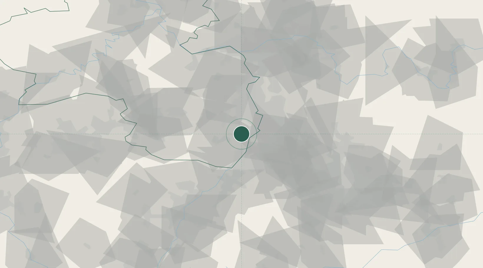
Location
Nearby Logistics Neighbours
Cities
- 1Harthausen2 km
- 2Lingenfeld2 km
- 3Lustadt4 km
- 4Hanhofen6 km
- 5Germersheim6 km
Airports
- 1Mannheim-City Airport27 km
- 2Ramstein Air Base55 km
- 3Karlsruhe Baden-Baden Airport57 km
- 4Mainz-Finthen Airfield79 km
- 5Frankfurt-Egelsbach Airport81 km
Trade Zones
- 1ZFU Hautepierre88 km
- 2ZFU Neuhof90 km
- 3ZFU La Cité Behren-lès-Forbach102 km
- 4Luxembourg Free Port157 km
- 5ZFU Metz158 km
DatabookThe Record of Consolidated Knowledge
Germany beyond logistics?