Transport Functions
Multimodal
Hub Profile
Place type
Local administrative seat
Region
Hesse
Time zone
Europe/Berlin
Elevation
279 m
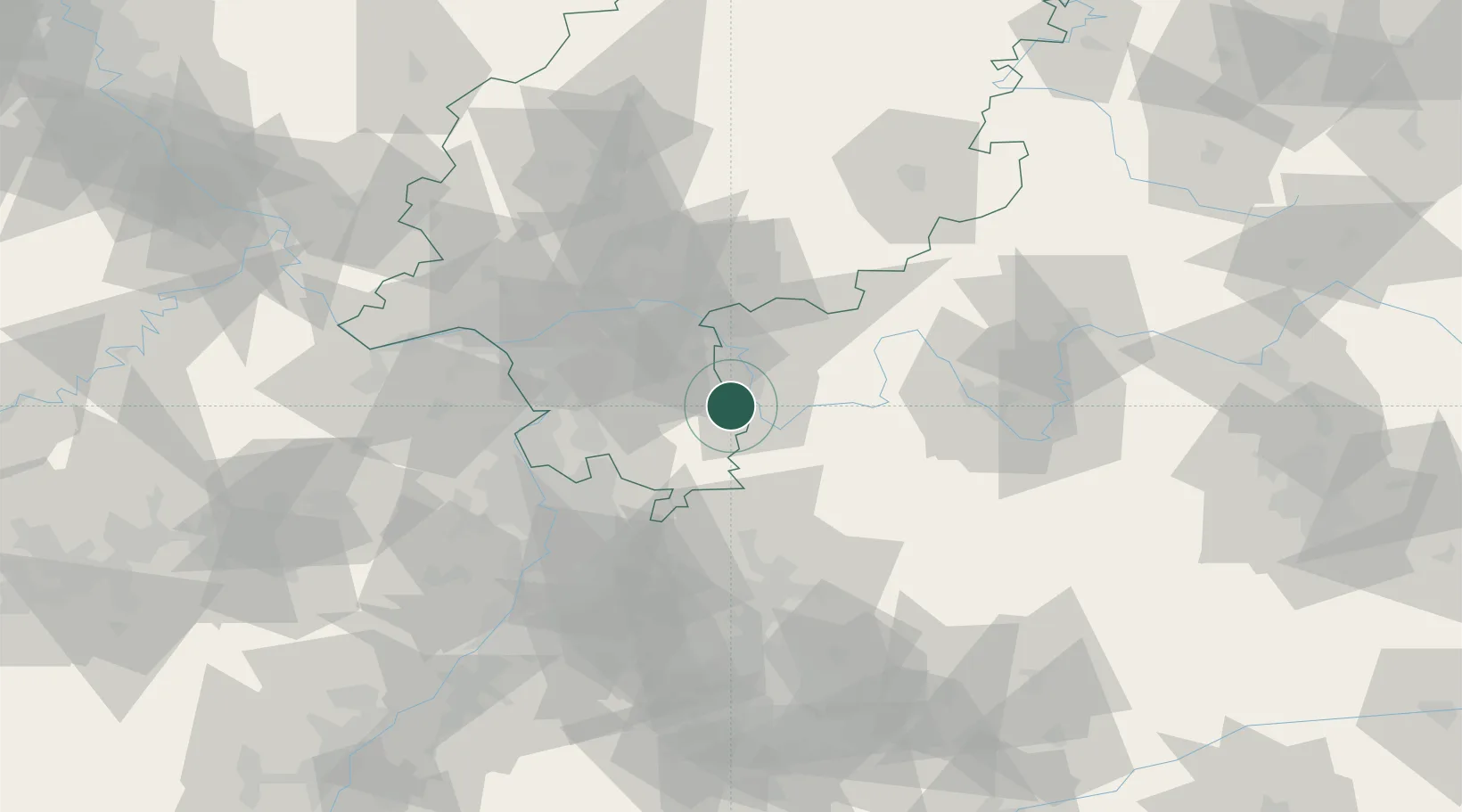
Location
Nearby Logistics Neighbours
Cities
- 1Erlenbach am Main6 km
- 2Obernburg am Main7 km
- 3Bad König7 km
- 4Klingenberg am Main7 km
- 5Elsenfeld7 km
Airports
- 1Frankfurt-Egelsbach Airport37 km
- 2Frankfurt Main Airport46 km
- 3Mannheim-City Airport54 km
- 4Wiesbaden Army Airfield62 km
- 5Mainz-Finthen Airfield70 km
Trade Zones
- 1ZFU Hautepierre166 km
- 2ZFU Neuhof168 km
- 3ZFU La Cité Behren-lès-Forbach170 km
- 4Luxembourg Free Port206 km
- 5ZFU Woippy-Metz223 km
DatabookThe Record of Consolidated Knowledge
Germany beyond logistics?