Transport Functions
Rail
Road
Hub Profile
Region
HE
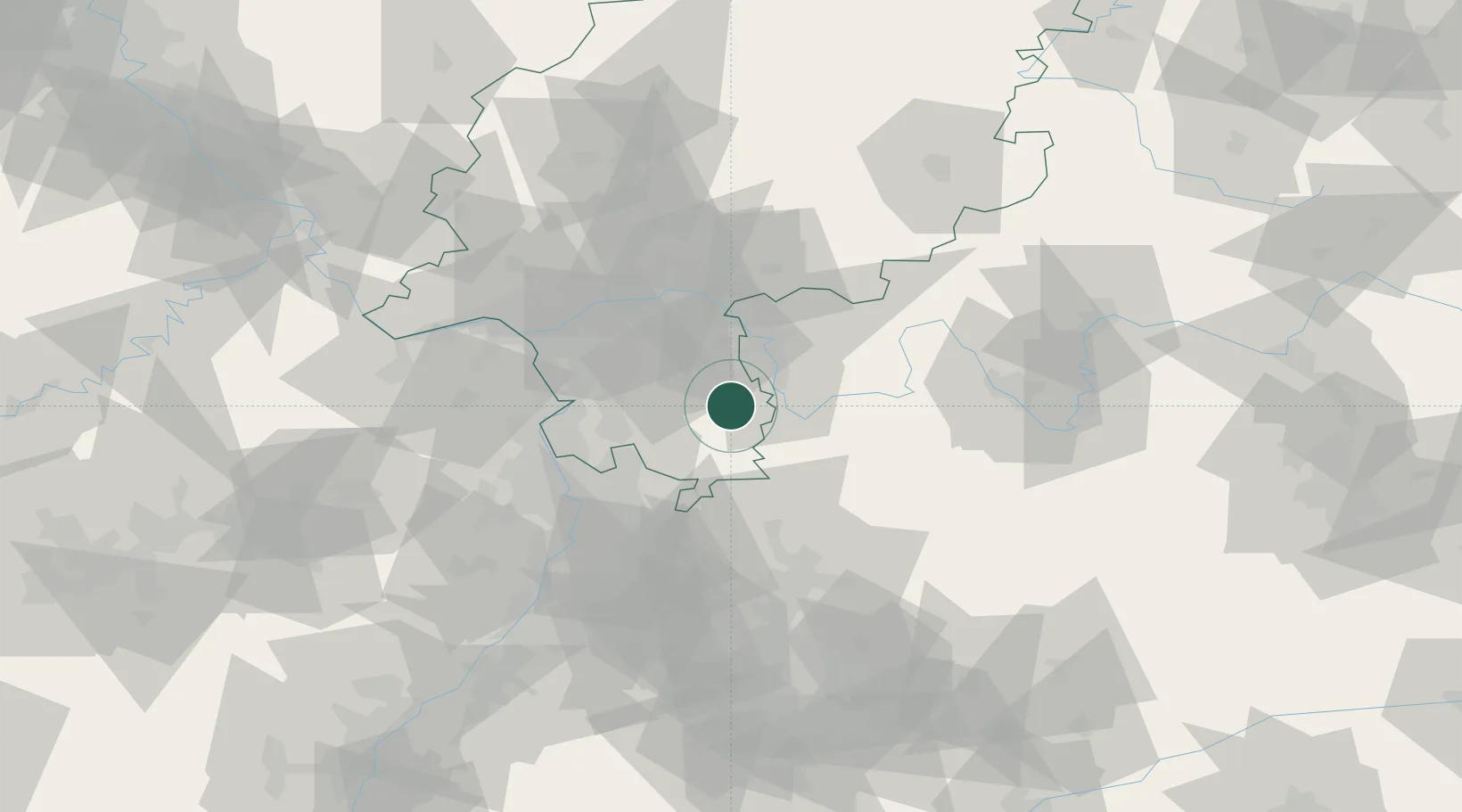
Location
Nearby Logistics Neighbours
Cities
- 1Hassenroth6 km
- 2Lützelbach7 km
- 3Fraenkisch Crumbach11 km
- 4Otzberg11 km
- 5Lengfeld12 km
Airports
- 1Frankfurt-Egelsbach Airport35 km
- 2Frankfurt Main Airport44 km
- 3Mannheim-City Airport47 km
- 4Wiesbaden Army Airfield59 km
- 5Mainz-Finthen Airfield66 km
Trade Zones
- 1ZFU Hautepierre160 km
- 2ZFU Neuhof162 km
- 3ZFU La Cité Behren-lès-Forbach163 km
- 4Luxembourg Free Port200 km
- 5ZFU Woippy-Metz217 km
DatabookThe Record of Consolidated Knowledge
Germany beyond logistics?