Transport Functions
Port
Rail
Road
Hub Profile
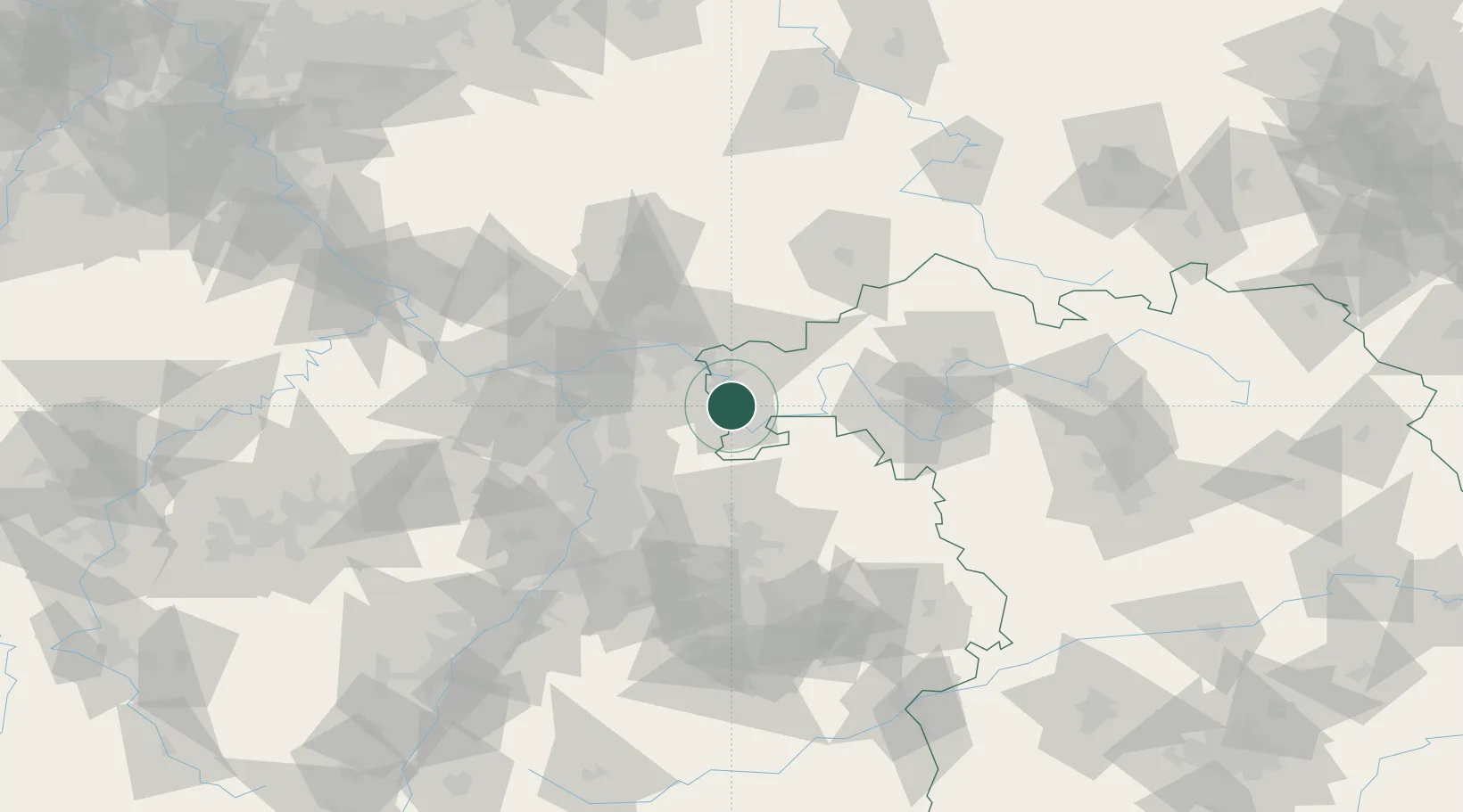
Place type
Populated place
Region
Bavaria
Population
8,727
Time zone
Europe/Berlin
Elevation
125 m
Location
Nearby Logistics Neighbours
Cities
- 1Obernburg am Main1 km
- 2Kleinwallstadt4 km
- 3Erlenbach am Main4 km
- 4Mömlingen5 km
- 5Klingenberg am Main6 km
Airports
- 1Frankfurt-Egelsbach Airport39 km
- 2Frankfurt Main Airport48 km
- 3Mannheim-City Airport61 km
- 4Wiesbaden Army Airfield64 km
- 5Mainz-Finthen Airfield73 km
Trade Zones
- 1ZFU Hautepierre174 km
- 2ZFU Neuhof176 km
- 3ZFU La Cité Behren-lès-Forbach177 km
- 4Luxembourg Free Port212 km
- 5ZFU Woippy-Metz230 km
DatabookThe Record of Consolidated Knowledge
Germany beyond logistics?