Transport Functions
Port
Road
Hub Profile
Region
NI
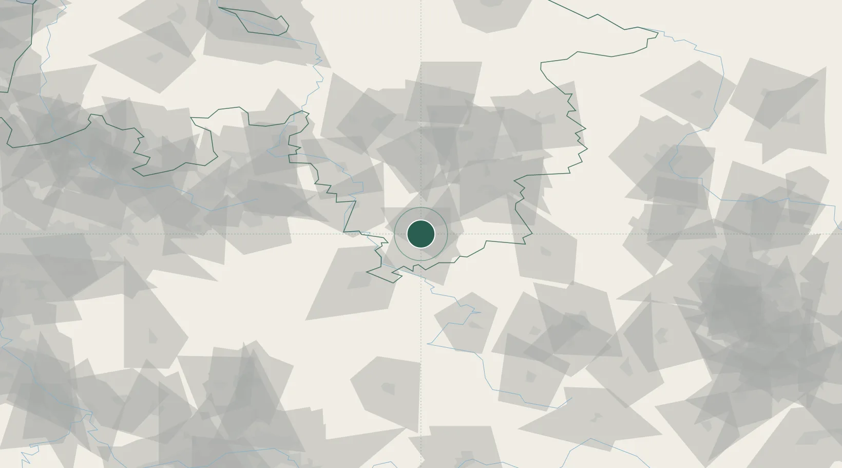
Location
Nearby Logistics Neighbours
Cities
- 1Moringen8 km
- 2Northeim9 km
- 3Hollenstedt11 km
- 4Adelebsen13 km
- 5Göttingen13 km
Airports
- 1Kassel Airport44 km
- 2Fritzlar Army Airfield72 km
- 3Eisenach-Kindel Airport81 km
- 4Braunschweig-Wolfsburg Airport88 km
- 5Paderborn Lippstadt Airport90 km
Trade Zones
DatabookThe Record of Consolidated Knowledge
Germany beyond logistics?