Transport Functions
Rail
Road
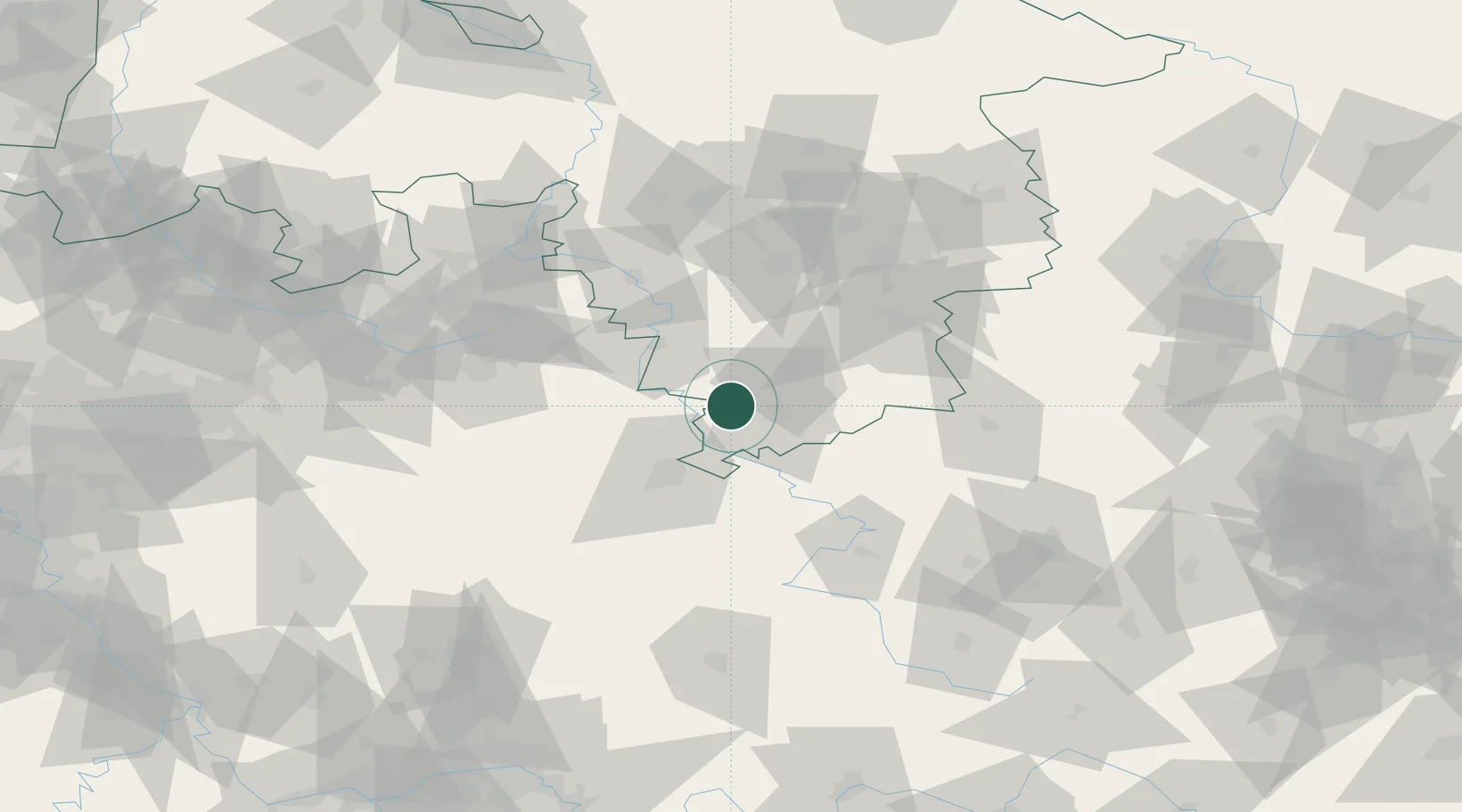
Hub Profile
Place type
Local administrative seat
Region
Lower Saxony
Population
6,541
Time zone
Europe/Berlin
Elevation
187 m
Location
Nearby Logistics Neighbours
Cities
- 1Göttingen1 km
- 2Dransfeld9 km
- 3Bühren bei Göttingen12 km
- 4Lütgenrode13 km
- 5Reinhardshagen15 km
Airports
- 1Kassel Airport31 km
- 2Fritzlar Army Airfield61 km
- 3Paderborn Lippstadt Airport78 km
- 4Eisenach-Kindel Airport83 km
- 5Bückeburg Air Base90 km
Trade Zones
DatabookThe Record of Consolidated Knowledge
Germany beyond logistics?