Transport Functions
Port
Rail
Road
Hub Profile
Place type
Populated place
Region
Lower Saxony
Time zone
Europe/Berlin
Elevation
115 m
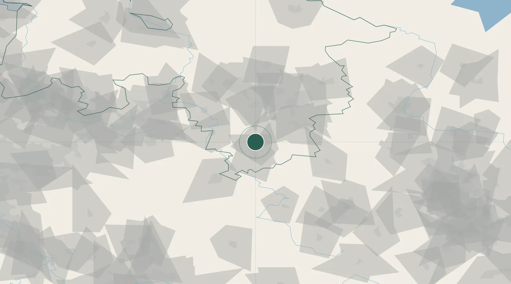
Location
Nearby Logistics Neighbours
Cities
- 1Northeim5 km
- 2Moringen7 km
- 3Einbeck11 km
- 4Lütgenrode11 km
- 5Katlenburg-Duhm12 km
Airports
- 1Kassel Airport52 km
- 2Braunschweig-Wolfsburg Airport77 km
- 3Fritzlar Army Airfield83 km
- 4Hannover Airport83 km
- 5Bückeburg Air Base85 km
Trade Zones
DatabookThe Record of Consolidated Knowledge
Germany beyond logistics?