Transport Functions
Multimodal
Hub Profile
Place type
Populated place
Region
Lower Saxony
Population
7,513
Time zone
Europe/Berlin
Elevation
179 m
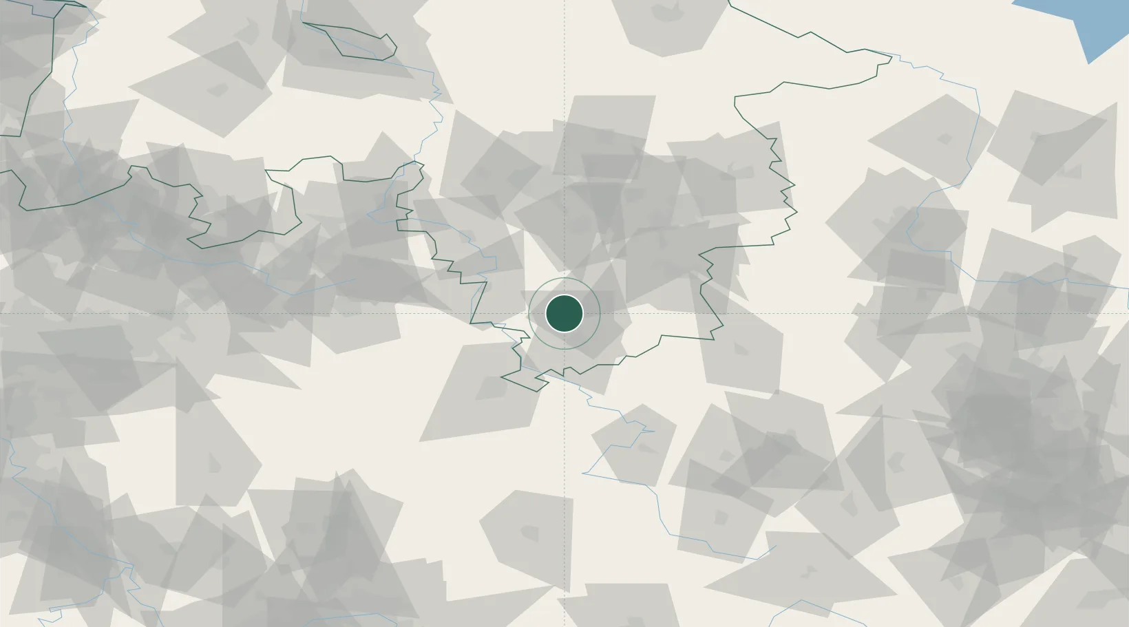
Location
Nearby Logistics Neighbours
Cities
- 1Hollenstedt7 km
- 2Lütgenrode8 km
- 3Northeim9 km
- 4Einbeck13 km
- 5Adelebsen15 km
Airports
- 1Kassel Airport45 km
- 2Fritzlar Army Airfield77 km
- 3Braunschweig-Wolfsburg Airport84 km
- 4Bückeburg Air Base84 km
- 5Hannover Airport86 km
Trade Zones
DatabookThe Record of Consolidated Knowledge
Germany beyond logistics?