Transport Functions
Rail
Road
Multimodal
Hub Profile
Place type
Populated place
Region
Baden-Wurttemberg
Time zone
Europe/Berlin
Elevation
492 m
Logistics facilities
1
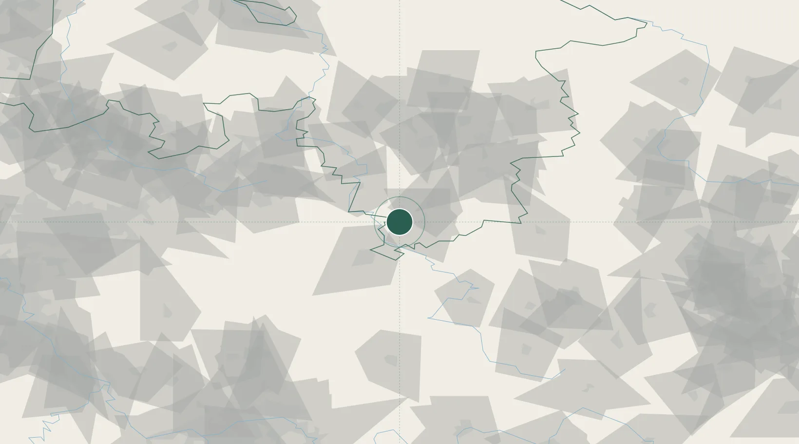
Location
Nearby Logistics Neighbours
Cities
- 1Adelebsen1 km
- 2Dransfeld8 km
- 3Bühren bei Göttingen11 km
- 4Lütgenrode13 km
- 5Reinhardshagen14 km
Airports
- 1Kassel Airport30 km
- 2Fritzlar Army Airfield60 km
- 3Paderborn Lippstadt Airport79 km
- 4Eisenach-Kindel Airport82 km
- 5Bückeburg Air Base91 km
Trade Zones
DatabookThe Record of Consolidated Knowledge
Germany beyond logistics?