Transport Functions
Rail
Road
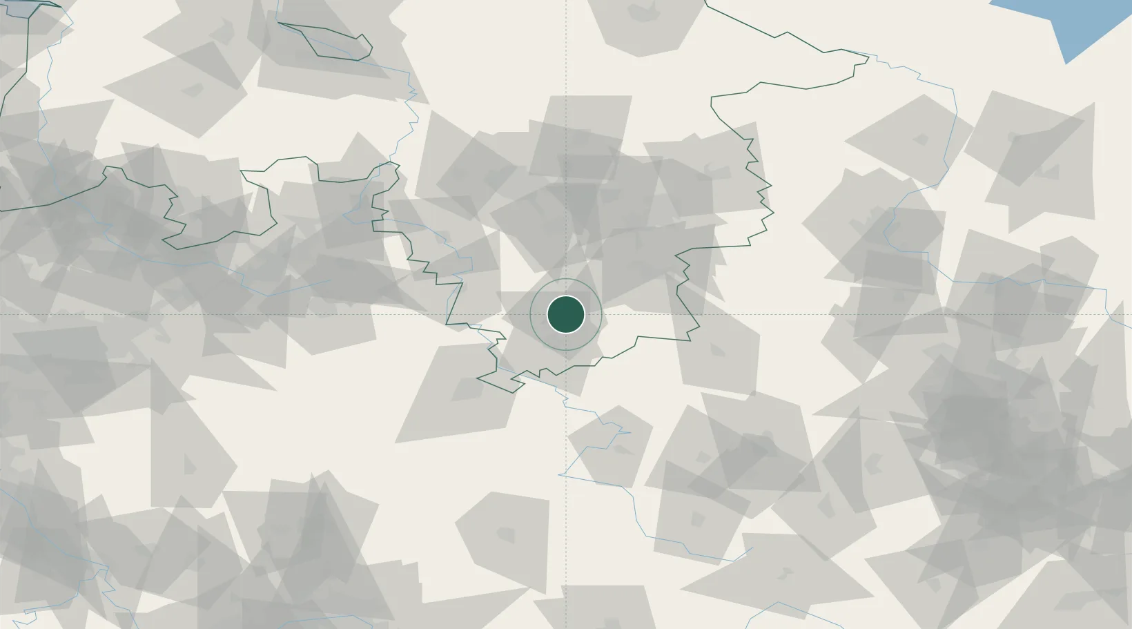
Hub Profile
Place type
District seat
Region
Lower Saxony
Population
30,894
Time zone
Europe/Berlin
Elevation
127 m
Location
Nearby Logistics Neighbours
Cities
- 1Hollenstedt5 km
- 2Katlenburg-Duhm7 km
- 3Katlenburg-Lindau7 km
- 4Moringen9 km
- 5Lütgenrode9 km
Airports
- 1Kassel Airport52 km
- 2Braunschweig-Wolfsburg Airport79 km
- 3Fritzlar Army Airfield82 km
- 4Eisenach-Kindel Airport86 km
- 5Hannover Airport87 km
Trade Zones
DatabookThe Record of Consolidated Knowledge
Germany beyond logistics?