Transport Functions
Rail
Road
Hub Profile
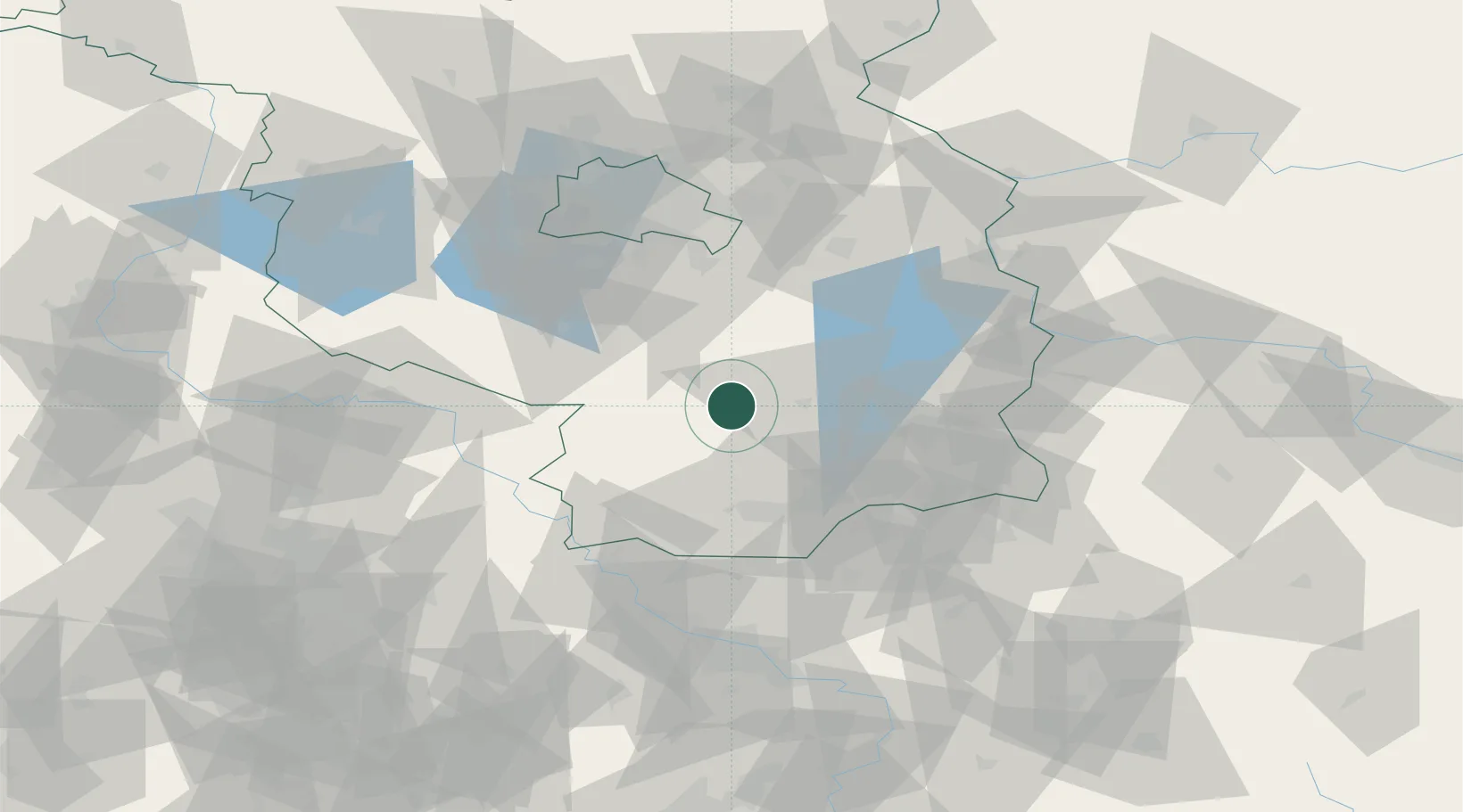
Place type
Populated place
Region
Brandenburg
Population
10,471
Time zone
Europe/Berlin
Elevation
63 m
Location
Nearby Logistics Neighbours
Ports
- 1Szczecin183 km
- 2Police199 km
- 3Swinoujscie233 km
- 4Wolgast245 km
- 5Rostock272 km
Airports
- 1Holzdorf Air Base39 km
- 2Berlin Brandenburg Airport59 km
- 3Dresden Airport80 km
- 4Rothenburg/Görlitz Airfield101 km
- 5Zerbst Airfield109 km
Trade Zones
DatabookThe Record of Consolidated Knowledge
Germany beyond logistics?