Transport Functions
Rail
Road
Hub Profile
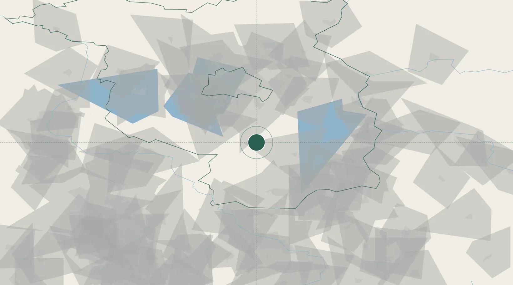
Place type
Populated place
Region
Brandenburg
Population
2,813
Time zone
Europe/Berlin
Elevation
59 m
Location
Nearby Logistics Neighbours
Ports
- 1Szczecin174 km
- 2Police189 km
- 3Swinoujscie221 km
- 4Wolgast232 km
- 5Rostock257 km
Airports
- 1Holzdorf Air Base37 km
- 2Berlin Brandenburg Airport44 km
- 3Dresden Airport93 km
- 4Zerbst Airfield100 km
- 5Leipzig/Halle Airport112 km
Trade Zones
- 1Kostrzyń-Słubice SEZ100 km
- 2Most - Joseph Industrial Zone165 km
- 3Szczecin Duty Free Zone174 km
- 4Žatec - Triangle Strategic Industrial Zone175 km
- 5Legnica SEZ (Legnicka SSE)178 km
DatabookThe Record of Consolidated Knowledge
Germany beyond logistics?