Transport Functions
Multimodal
Hub Profile
Place type
Populated place
Region
Brandenburg
Time zone
Europe/Berlin
Elevation
53 m
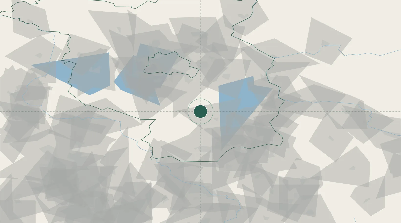
Location
Nearby Logistics Neighbours
Ports
- 1Szczecin171 km
- 2Police188 km
- 3Swinoujscie221 km
- 4Wolgast234 km
- 5Rostock263 km
Airports
- 1Holzdorf Air Base46 km
- 2Berlin Brandenburg Airport49 km
- 3Dresden Airport91 km
- 4Rothenburg/Görlitz Airfield105 km
- 5Zerbst Airfield111 km
Trade Zones
DatabookThe Record of Consolidated Knowledge
Germany beyond logistics?