Transport Functions
Rail
Road
Hub Profile
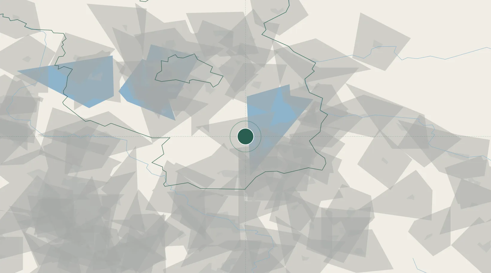
Region
BB
Logistics facilities
1
Location
Nearby Logistics Neighbours
Cities
- 1Vetschau12 km
- 2Calau13 km
- 3Freiwalde17 km
- 4Luckau17 km
- 5Sallgast - Göllnitz27 km
Ports
- 1Szczecin177 km
- 2Police193 km
- 3Swinoujscie229 km
- 4Wolgast243 km
- 5Rostock277 km
Airports
- 1Holzdorf Air Base56 km
- 2Berlin Brandenburg Airport64 km
- 3Dresden Airport83 km
- 4Rothenburg/Görlitz Airfield88 km
- 5Zerbst Airfield126 km
Trade Zones
DatabookThe Record of Consolidated Knowledge
Germany beyond logistics?