Transport Functions
Multimodal
Hub Profile
Place type
Urban district
Region
Brandenburg
Time zone
Europe/Berlin
Elevation
71 m
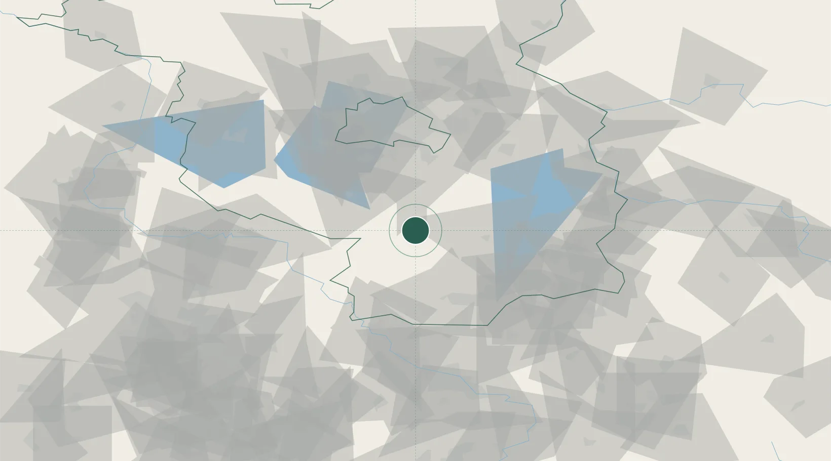
Location
Nearby Logistics Neighbours
Ports
- 1Szczecin182 km
- 2Police198 km
- 3Swinoujscie229 km
- 4Wolgast240 km
- 5Rostock262 km
Airports
- 1Holzdorf Air Base30 km
- 2Berlin Brandenburg Airport51 km
- 3Dresden Airport87 km
- 4Zerbst Airfield97 km
- 5Leipzig/Halle Airport105 km
Trade Zones
- 1Kostrzyń-Słubice SEZ107 km
- 2Most - Joseph Industrial Zone158 km
- 3Žatec - Triangle Strategic Industrial Zone168 km
- 4Legnica SEZ (Legnicka SSE)179 km
- 5Szczecin Duty Free Zone183 km
DatabookThe Record of Consolidated Knowledge
Germany beyond logistics?