Transport Functions
Road
Multimodal
Hub Profile
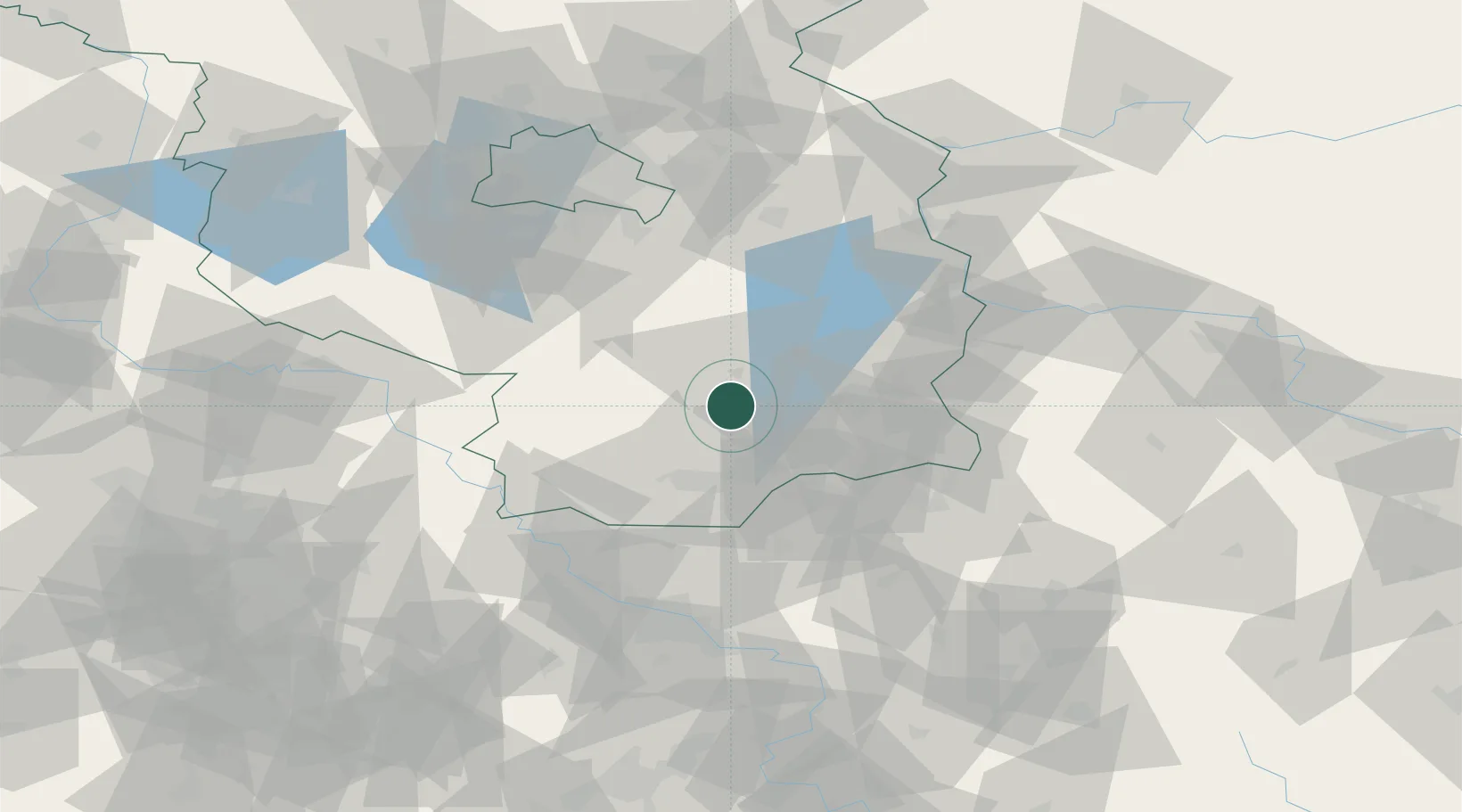
Region
BB
Location
Nearby Logistics Neighbours
Cities
- 1Vetschau11 km
- 2Lübbenau13 km
- 3Sallgast - Göllnitz13 km
- 4Massen18 km
- 5Luckau19 km
Ports
- 1Szczecin190 km
- 2Police207 km
- 3Swinoujscie242 km
- 4Wolgast256 km
- 5Rostock288 km
Airports
- 1Holzdorf Air Base53 km
- 2Dresden Airport69 km
- 3Berlin Brandenburg Airport74 km
- 4Rothenburg/Görlitz Airfield82 km
- 5Leipzig/Halle Airport123 km
Trade Zones
DatabookThe Record of Consolidated Knowledge
Germany beyond logistics?