Transport Functions
Rail
Road
Hub Profile
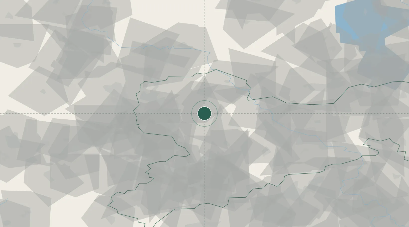
Place type
Populated place
Region
Saxony
Population
4,073
Time zone
Europe/Berlin
Elevation
138 m
Location
Nearby Logistics Neighbours
Cities
- 1Boehlen3 km
- 2Kühren Burkartshain6 km
- 3Dürrweitzschen (Muldentalkreis)9 km
- 4Gross Steinberg11 km
- 5Bennewitz12 km
Ports
- 1Szczecin268 km
- 2Police283 km
- 3Wismar306 km
- 4Swinoujscie311 km
- 5Wolgast317 km
Airports
- 1Leipzig–Altenburg Airport37 km
- 2Leipzig/Halle Airport42 km
- 3Holzdorf Air Base62 km
- 4Dresden Airport70 km
- 5Zerbst Airfield93 km
Trade Zones
DatabookThe Record of Consolidated Knowledge
Germany beyond logistics?