Transport Functions
Rail
Road
Hub Profile
Region
NW
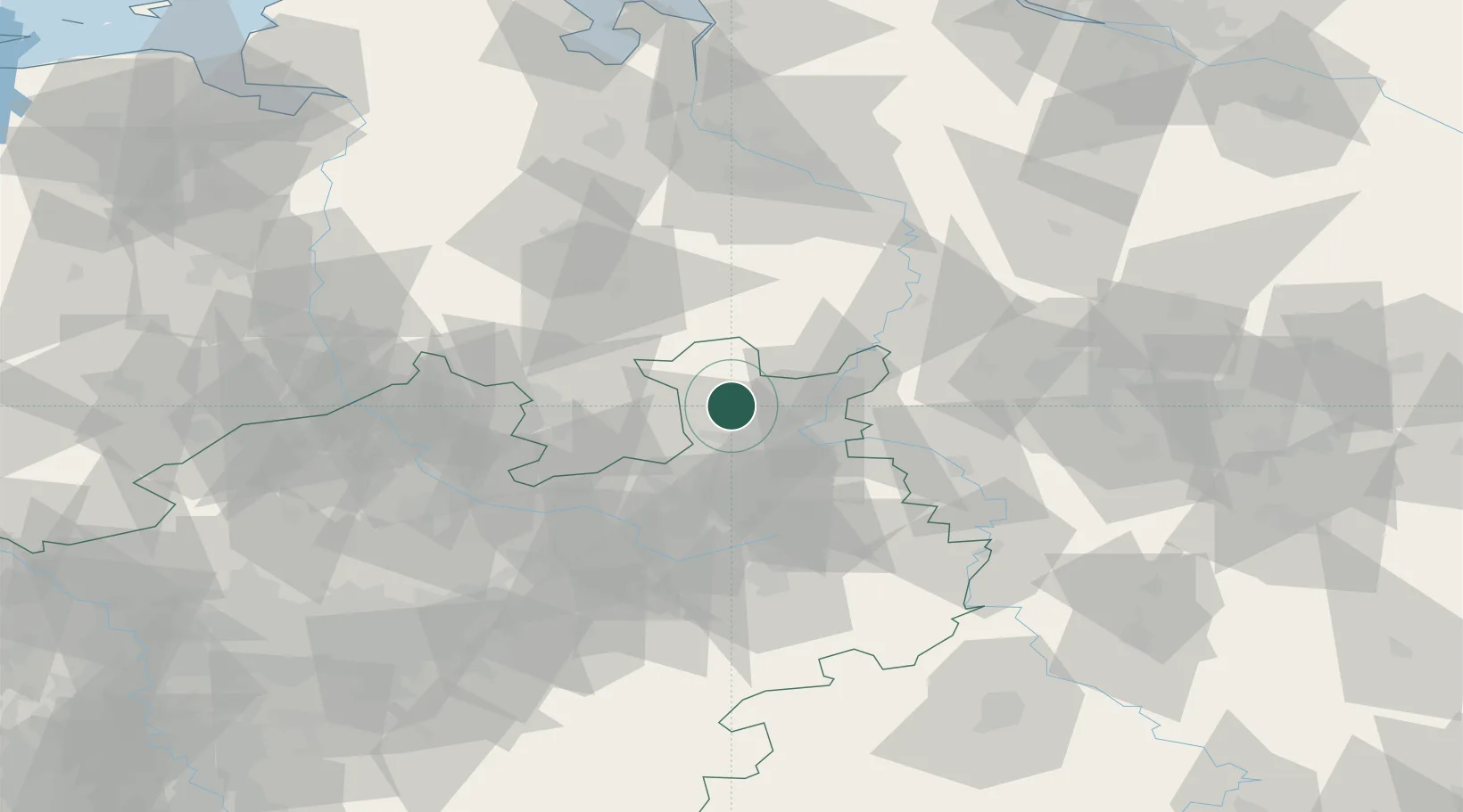
Location
Nearby Logistics Neighbours
Cities
- 1Wimmer13 km
- 2Löhnerheide14 km
- 3Diepenau16 km
- 4Wittlage17 km
- 5Bad Essen19 km
Airports
- 1Bückeburg Air Base32 km
- 2Diepholz Air Base37 km
- 3Bielefeld Airport38 km
- 4Wunstorf Air Base58 km
- 5Münster Osnabrück Airport66 km
Trade Zones
DatabookThe Record of Consolidated Knowledge
Germany beyond logistics?