Transport Functions
Port
Rail
Road
Hub Profile
Place type
Local administrative seat
Region
Baden-Wurttemberg
Population
2,580
Time zone
Europe/Berlin
Elevation
603 m
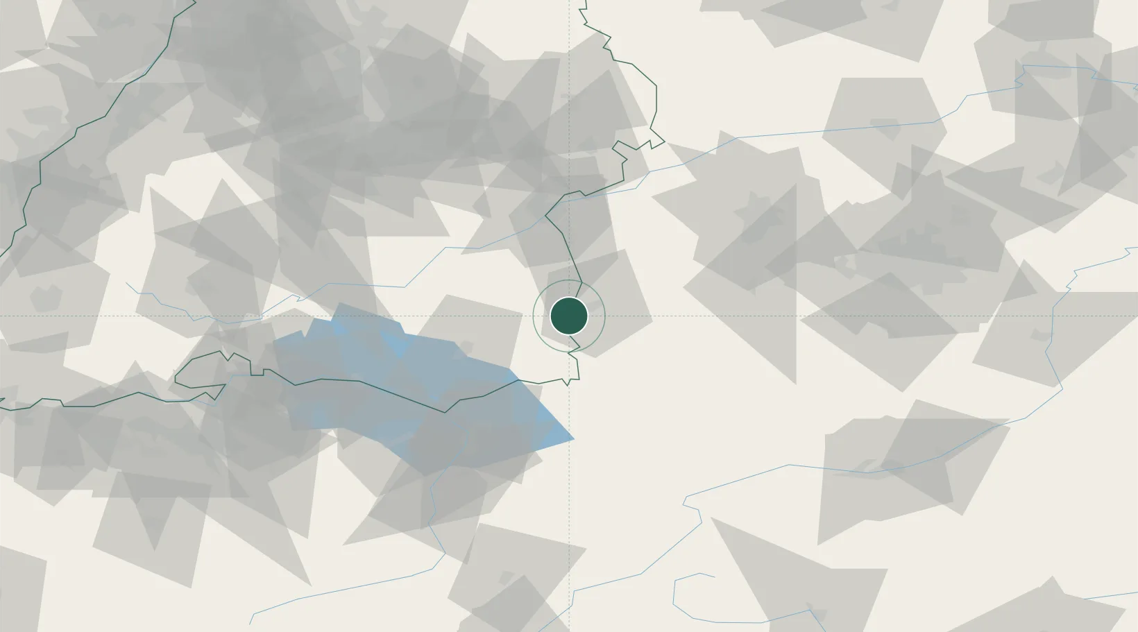
Location
Nearby Logistics Neighbours
Cities
- 1Tannheim6 km
- 2Rot an der Rot8 km
- 3Woringen9 km
- 4Benningen10 km
- 5Memmingerberg11 km
Ports
- 1Porto Di Lido-Venezia334 km
- 2Nogaro338 km
- 3Porto Di Chioggia346 km
- 4Grado350 km
- 5Monfalcone357 km
Airports
- 1Memmingen Allgau Airport12 km
- 2Laupheim Air Base33 km
- 3Bodensee Airport Friedrichshafen53 km
- 4Mengen-Hohentengen Airfield54 km
- 5Lechfeld Air Base64 km
Trade Zones
- 1Livigno Free Trade Zone158 km
- 2ZFU Neuhof184 km
- 3ZFU Hautepierre191 km
- 4ZFU Mulhouse206 km
- 5Freeport of Deggendorf231 km
DatabookThe Record of Consolidated Knowledge
Germany beyond logistics?