Transport Functions
Rail
Road
Hub Profile
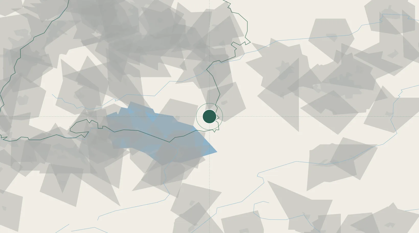
Region
BW
Location
Nearby Logistics Neighbours
Cities
- 1Legau9 km
- 2Bad Wurzach11 km
- 3Aitrach14 km
- 4Woringen17 km
- 5Argenbühl17 km
Ports
- 1Porto Di Lido-Venezia326 km
- 2Nogaro333 km
- 3Porto Di Chioggia338 km
- 4Grado345 km
- 5Monfalcone353 km
Airports
Trade Zones
- 1Livigno Free Trade Zone145 km
- 2ZFU Neuhof185 km
- 3ZFU Hautepierre192 km
- 4ZFU Mulhouse200 km
- 5Magazzini Generali Con Chiasso236 km
DatabookThe Record of Consolidated Knowledge
Germany beyond logistics?