Transport Functions
Multimodal
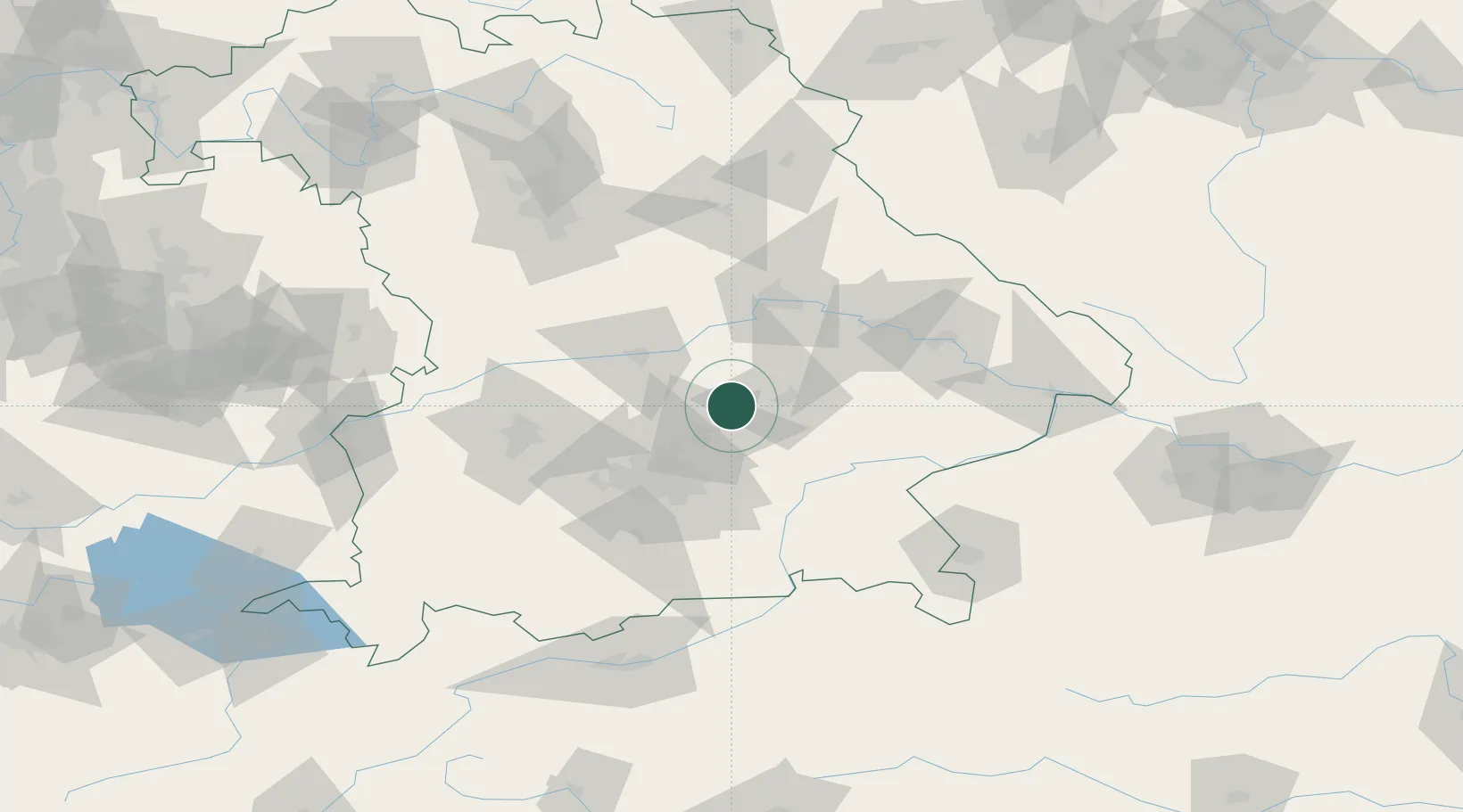
Hub Profile
Place type
Local administrative seat
Region
Bavaria
Population
2,752
Time zone
Europe/Berlin
Elevation
444 m
Location
Nearby Logistics Neighbours
Cities
- 1Gammelsdorf5 km
- 2Nandlstadt8 km
- 3Langenbach10 km
- 4Eching/Landshut12 km
- 5Tiefenbach (Bei Landshut)15 km
Ports
- 1Nogaro321 km
- 2Monfalcone329 km
- 3Grado331 km
- 4Porto Di Lido-Venezia347 km
- 5Trieste348 km
Airports
- 1Landshut Airfield10 km
- 2Munich Airport20 km
- 3Ingolstadt Manching Airport35 km
- 4Altstetten Ultralight Field51 km
- 5Neuburg Air Base55 km
Trade Zones
DatabookThe Record of Consolidated Knowledge
Germany beyond logistics?