Transport Functions
Rail
Road
Hub Profile
Place type
Local administrative seat
Region
Bavaria
Population
3,348
Time zone
Europe/Berlin
Elevation
323 m
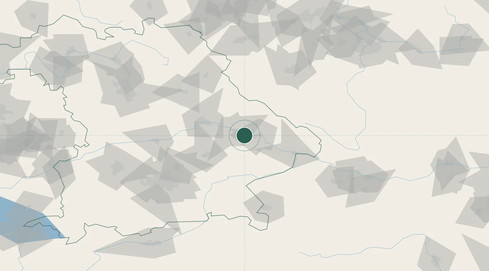
Location
Nearby Logistics Neighbours
Cities
- 1Niederwinkling8 km
- 2Salching11 km
- 3Parkstetten13 km
- 4Steinach15 km
- 5Landau an der Isar17 km
Ports
- 1Nogaro344 km
- 2Monfalcone345 km
- 3Grado352 km
- 4Trieste362 km
- 5Muggia368 km
Airports
- 1Landshut Airfield62 km
- 2Hohenfels Army Airfield77 km
- 3Munich Airport87 km
- 4Ingolstadt Manching Airport88 km
- 5Plzeň-Líně Airport102 km
Trade Zones
DatabookThe Record of Consolidated Knowledge
Germany beyond logistics?