Transport Functions
Rail
Road
Hub Profile
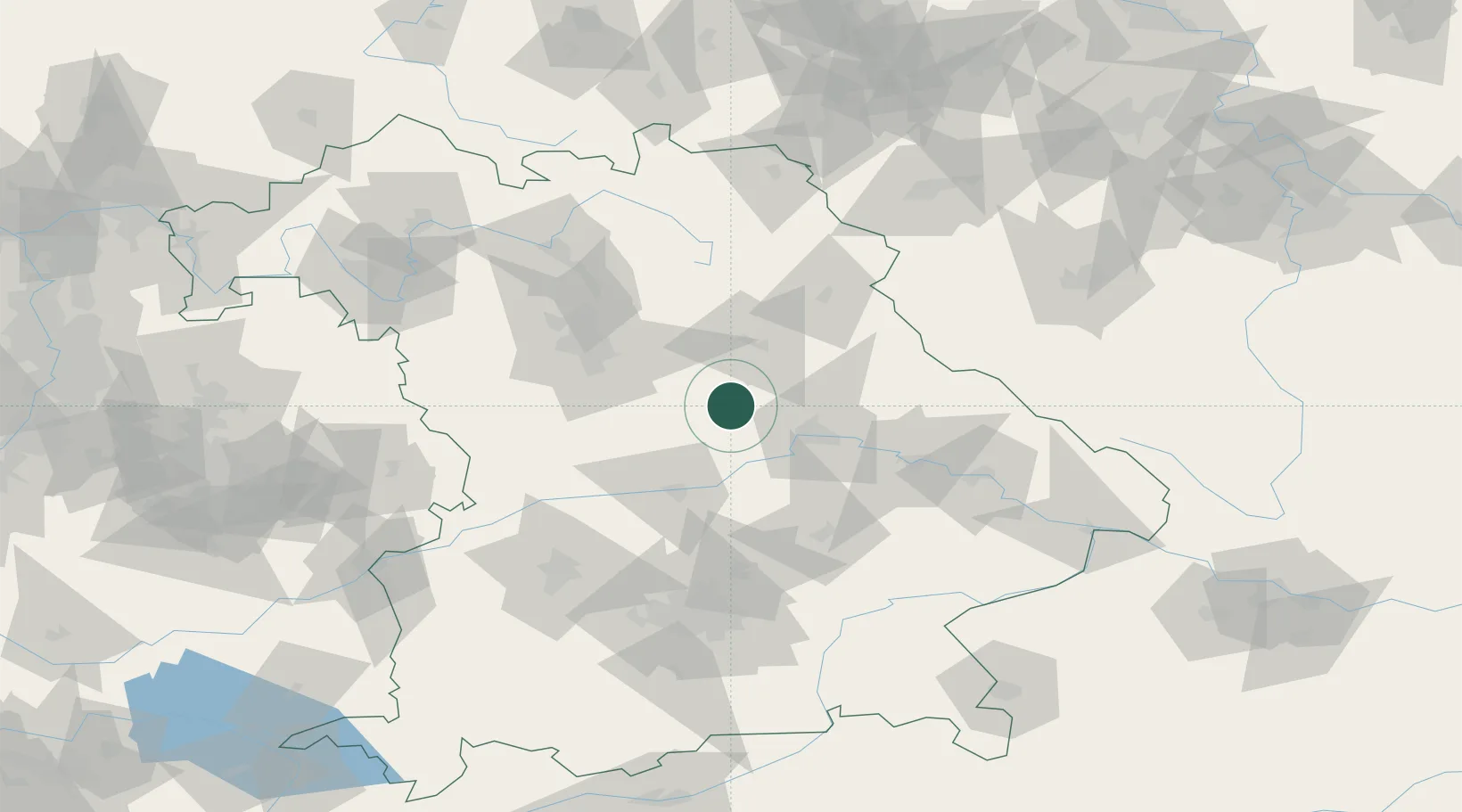
Place type
Populated place
Region
Bavaria
Population
6,772
Time zone
Europe/Berlin
Elevation
535 m
Location
Nearby Logistics Neighbours
Cities
- 1Raitenbuch9 km
- 2Deining16 km
- 3Babelsberg16 km
- 4Laaber17 km
- 5Dietfurt18 km
Ports
- 1Nogaro394 km
- 2Monfalcone401 km
- 3Grado404 km
- 4Trieste420 km
- 5Porto Di Lido-Venezia421 km
Airports
- 1Hohenfels Army Airfield10 km
- 2Ingolstadt Manching Airport52 km
- 3Nuremberg Airport59 km
- 4Grafenwöhr Army Air Field61 km
- 5Neuburg Air Base63 km
Trade Zones
DatabookThe Record of Consolidated Knowledge
Germany beyond logistics?