Transport Functions
Multimodal
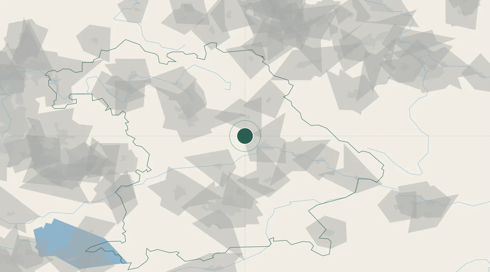
Hub Profile
Place type
Populated place
Region
Bavaria
Time zone
Europe/Berlin
Elevation
530 m
Location
Nearby Logistics Neighbours
Cities
- 1Parsberg9 km
- 2Babelsberg12 km
- 3Laaber14 km
- 4Burglengenfeld15 km
- 5Teublitz19 km
Ports
- 1Nogaro394 km
- 2Monfalcone399 km
- 3Grado403 km
- 4Trieste418 km
- 5Porto Di Lido-Venezia421 km
Airports
- 1Hohenfels Army Airfield4 km
- 2Ingolstadt Manching Airport56 km
- 3Grafenwöhr Army Air Field58 km
- 4Nuremberg Airport65 km
- 5Neuburg Air Base69 km
Trade Zones
DatabookThe Record of Consolidated Knowledge
Germany beyond logistics?