UN/LOCODE hub · Germany
DEKQZ

Kutenholz

53.4667°, 9.3167°
4,964
Population
1
Transport functions

Transport Functions

Multimodal
UN/LOCODE

Hub Profile

Place type
Local administrative seat
GeoNames
Region
Lower Saxony
GeoNames
Population
4,964
GeoNames
Time zone
Europe/Berlin
GeoNames
Elevation
23 m
GeoNames

Location

Location of DEKQZ
Natural Earth 10m (public domain) · Lower Saxony · DEKQZ · 53.47, 9.32GoogleOSMYandex

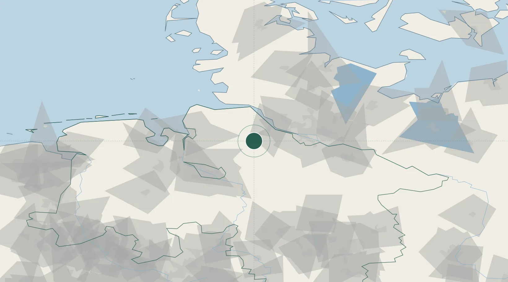
Nearby Logistics Neighbours

Cities
  1. 1Brest5 km
  2. 2Forst12 km
  3. 3Bremervörde12 km
  4. 4Düdenbüttel13 km
  5. 5Glinde16 km
Nearest neighbours — logibook spatial index (haversine) over the source coordinates
Ports
  1. 1Butzfleth24 km
  2. 2Gluckstadt36 km
  3. 3Neuhaus42 km
  4. 4Hamburg42 km
  5. 5Brunsbuttel Elbahafen47 km
Nearest neighbours — logibook spatial index (haversine) over the source coordinates
Airports
  1. 1Uetersen-Heist Airfield32 km
  2. 2Hamburg-Finkenwerder Airport35 km
  3. 3Hamburg Helmut Schmidt Airport48 km
  4. 4Sea-Airport Cuxhaven/Nordholz / Nordholz Naval Airbase55 km
  5. 5Bremen Airport58 km
Nearest neighbours — logibook spatial index (haversine) over the source coordinates
Trade Zones
  1. 1Freeport of Bremerhaven (Freihafen Bremerhaven)55 km
  2. 2Freeport of Cuxhaven (Freihafen Cuxhaven)64 km
  3. 3Freeport of Kiel112 km
  4. 4Freeport of Emden142 km
  5. 5Freeport of Duisburg291 km
Nearest neighbours — logibook spatial index (haversine) over the source coordinates
DatabookThe Record of Consolidated Knowledge
Germany beyond logistics?
Browse databook

All Sources

LocationsUN/LOCODE
UN/LOCODE — free
LocationsGeoNames
CC BY 4.0
Portsthe NGA World Port Index
Public domain (US gov)
AirportsOurAirports
Public domain
Trade Zonesthe World Bank SEZ database
CC BY 4.0
Trade ZonesOpen Zone Map
CC BY
← Germany locations