UN/LOCODE hub · Germany
DEFOR

Forst

53.5500°, 9.2000°
2
Transport functions

Transport Functions

Rail
Road
UN/LOCODE

Hub Profile

Place type
Farm village
GeoNames
Region
Lower Saxony
GeoNames
Time zone
Europe/Berlin
GeoNames
Elevation
14 m
GeoNames

Location

Location of DEFOR
Natural Earth 10m (public domain) · Lower Saxony · DEFOR · 53.55, 9.20GoogleOSMYandex

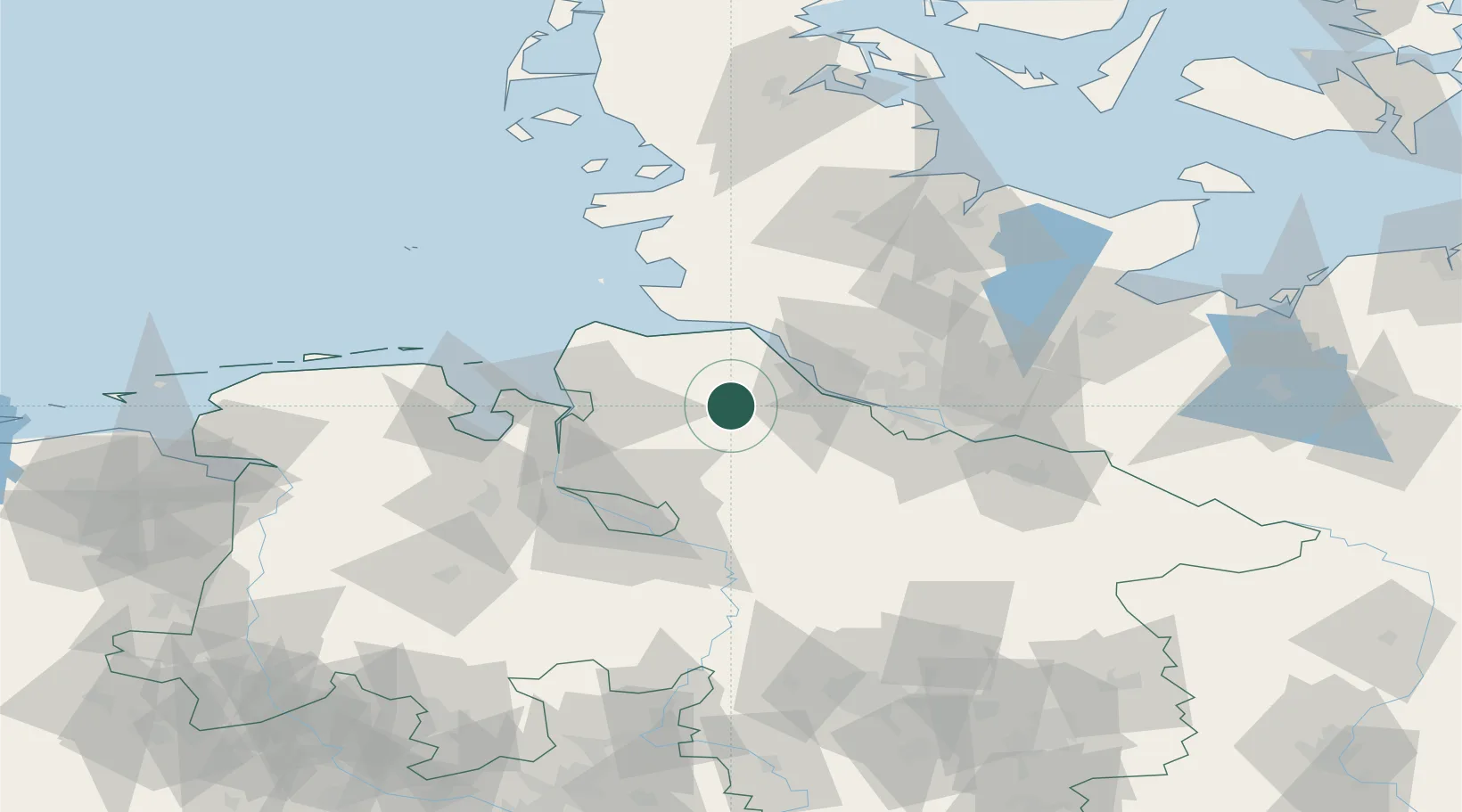
Nearby Logistics Neighbours

Cities
  1. 1Burweg9 km
  2. 2Bremervörde9 km
  3. 3Glinde10 km
  4. 4Himmelpforten10 km
  5. 5Düdenbüttel11 km
Nearest neighbours — logibook spatial index (haversine) over the source coordinates
Ports
  1. 1Butzfleth24 km
  2. 2Gluckstadt30 km
  3. 3Neuhaus30 km
  4. 4Brunsbuttel Elbahafen37 km
  5. 5Bremerhaven41 km
Nearest neighbours — logibook spatial index (haversine) over the source coordinates
Airports
  1. 1Uetersen-Heist Airfield35 km
  2. 2Hamburg-Finkenwerder Airport42 km
  3. 3Sea-Airport Cuxhaven/Nordholz / Nordholz Naval Airbase43 km
  4. 4Hamburg Helmut Schmidt Airport53 km
  5. 5Bremen Airport62 km
Nearest neighbours — logibook spatial index (haversine) over the source coordinates
Trade Zones
  1. 1Freeport of Cuxhaven (Freihafen Cuxhaven)52 km
  2. 2Freeport of Bremerhaven (Freihafen Bremerhaven)58 km
  3. 3Freeport of Kiel108 km
  4. 4Freeport of Emden135 km
  5. 5Freeport of Duisburg293 km
Nearest neighbours — logibook spatial index (haversine) over the source coordinates
DatabookThe Record of Consolidated Knowledge
Germany beyond logistics?
Browse databook

All Sources

LocationsUN/LOCODE
UN/LOCODE — free
Portsthe NGA World Port Index
Public domain (US gov)
AirportsOurAirports
Public domain
Trade Zonesthe World Bank SEZ database
CC BY 4.0
Trade ZonesOpen Zone Map
CC BY
← Germany locations