Transport Functions
Rail
Road
Hub Profile
Place type
Local administrative seat
Region
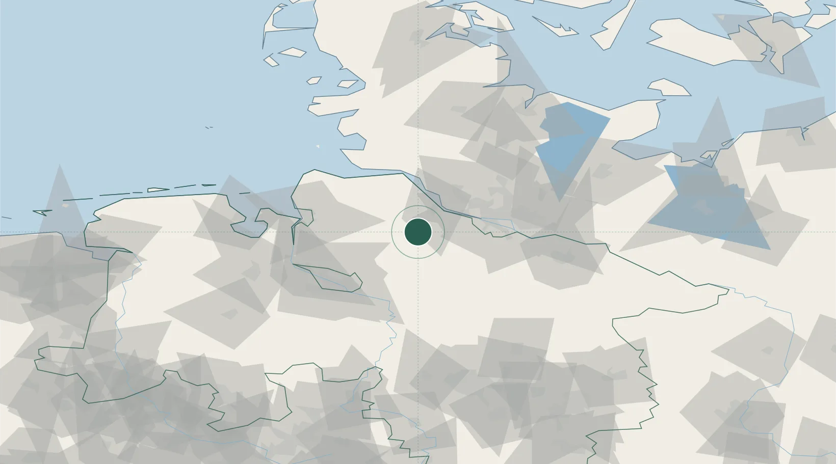
Lower Saxony
Population
827
Time zone
Europe/Berlin
Elevation
30 m
Location
Nearby Logistics Neighbours
Cities
- 1Kutenholz5 km
- 2Dollern14 km
- 3Wohnste15 km
- 4Düdenbüttel15 km
- 5Heeslingen15 km
Ports
- 1Butzfleth24 km
- 2Gluckstadt37 km
- 3Hamburg38 km
- 4Neuhaus45 km
- 5Brunsbuttel Elbahafen50 km
Airports
Trade Zones
DatabookThe Record of Consolidated Knowledge
Germany beyond logistics?