Transport Functions
Road
Multimodal
Hub Profile
Region
NI
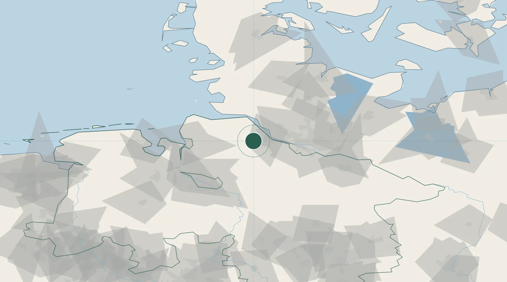
Location
Nearby Logistics Neighbours
Cities
- 1Himmelpforten5 km
- 2Burweg7 km
- 3Stade9 km
- 4Königsmoor9 km
- 5Forst11 km
Ports
- 1Butzfleth13 km
- 2Gluckstadt23 km
- 3Neuhaus32 km
- 4Brunsbuttel Elbahafen36 km
- 5Itzehoe39 km
Airports
Trade Zones
DatabookThe Record of Consolidated Knowledge
Germany beyond logistics?