Transport Functions
Port
Rail
Road
Hub Profile
Region
NI
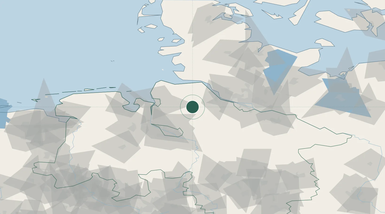
Location
Nearby Logistics Neighbours
Cities
- 1Glinde4 km
- 2Forst9 km
- 3Basdahl10 km
- 4Kutenholz12 km
- 5Gnarrenburg14 km
Ports
- 1Butzfleth31 km
- 2Neuhaus36 km
- 3Bremerhaven37 km
- 4Gluckstadt38 km
- 5Nordenham43 km
Airports
Trade Zones
DatabookThe Record of Consolidated Knowledge
Germany beyond logistics?