Transport Functions
Rail
Road
Hub Profile
Place type
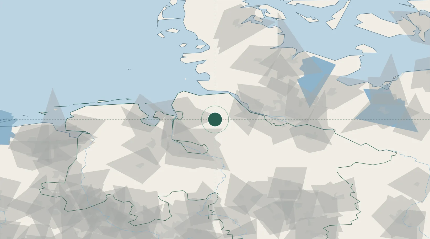
Populated place
Region
Lower Saxony
Time zone
Europe/Berlin
Elevation
10 m
Location
Nearby Logistics Neighbours
Cities
- 1Bremervörde4 km
- 2Basdahl8 km
- 3Forst10 km
- 4Gnarrenburg14 km
- 5Kutenholz16 km
Ports
- 1Butzfleth33 km
- 2Bremerhaven33 km
- 3Neuhaus34 km
- 4Gluckstadt38 km
- 5Nordenham40 km
Airports
Trade Zones
DatabookThe Record of Consolidated Knowledge
Germany beyond logistics?