Transport Functions
Multimodal
Hub Profile
Place type
Populated place
Region
Baden-Wurttemberg
Population
8,070
Time zone
Europe/Berlin
Elevation
348 m
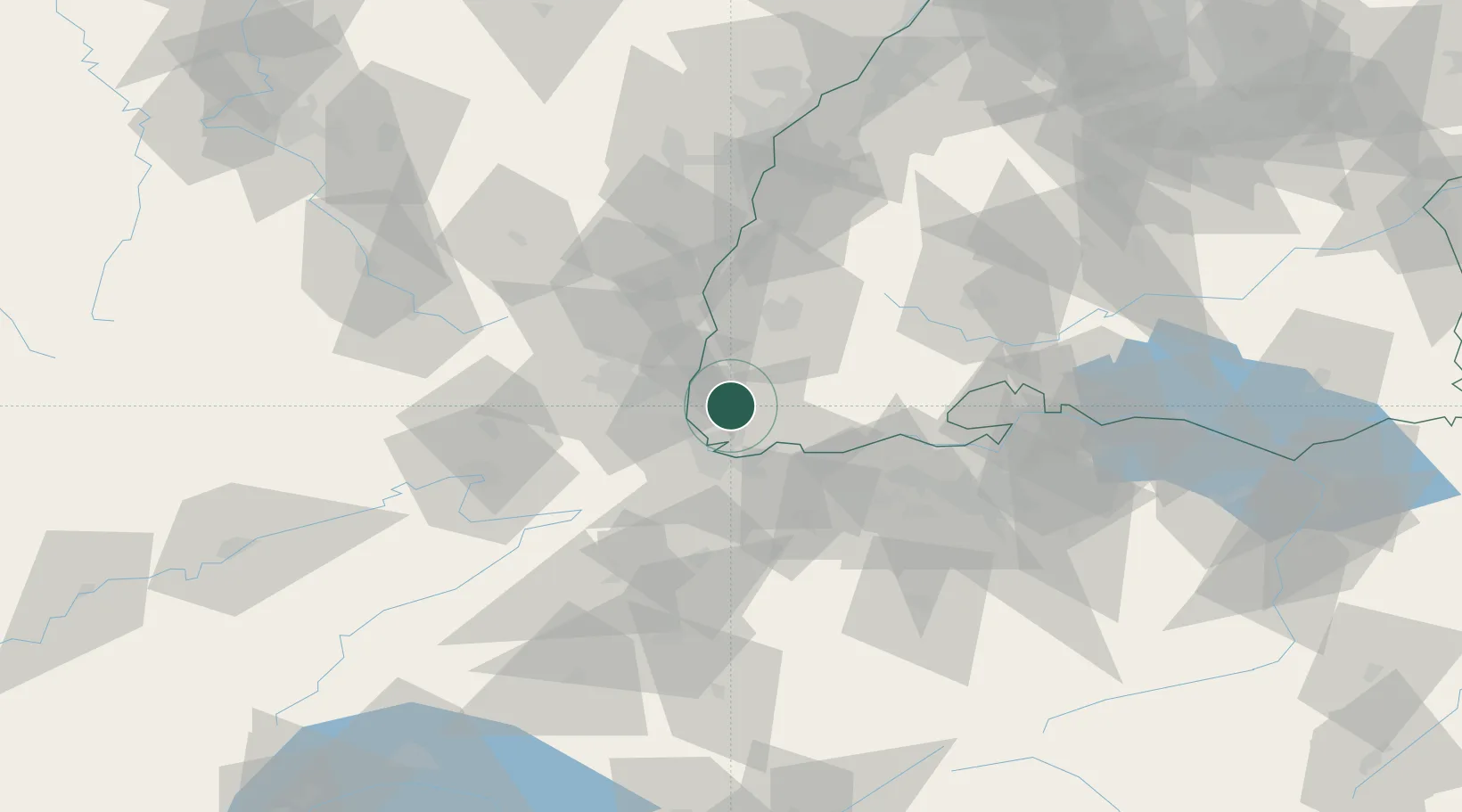
Location
Nearby Logistics Neighbours
Cities
- 1Wittlingen8 km
- 2Auggen9 km
- 3Huttingen11 km
- 4Maulburg12 km
- 5Binzen12 km
Ports
- 1Genova382 km
- 2Savona384 km
- 3Rada Di Vado389 km
- 4Chiavari - Lavagna400 km
- 5Bruxelles425 km
Airports
Trade Zones
- 1ZFU Mulhouse25 km
- 2ZFU Belfort65 km
- 3ZFU Montbéliard70 km
- 4ZFU Neuhof92 km
- 5ZFU Hautepierre98 km
DatabookThe Record of Consolidated Knowledge
Germany beyond logistics?