Transport Functions
Multimodal
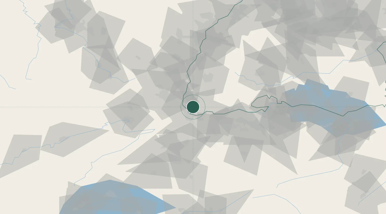
Hub Profile
Place type
Local administrative seat
Region
Baden-Wurttemberg
Population
976
Time zone
Europe/Berlin
Elevation
308 m
Location
Nearby Logistics Neighbours
Cities
- 1Binzen5 km
- 2Weil am Rhein7 km
- 3Huningue8 km
- 4Kandern8 km
- 5Village-Neuf8 km
Ports
- 1Genova375 km
- 2Savona376 km
- 3Rada Di Vado382 km
- 4Chiavari - Lavagna394 km
- 5Imperia420 km
Airports
- 1EuroAirport Basel–Mulhouse–Freiburg11 km
- 2Grenchen Airfield55 km
- 3Colmar Houssen airport56 km
- 4Montbéliard-Courcelles Airfield67 km
- 5Zürich Airport71 km
Trade Zones
- 1ZFU Mulhouse26 km
- 2ZFU Belfort63 km
- 3ZFU Montbéliard67 km
- 4ZFU Neuhof99 km
- 5ZFU Hautepierre105 km
DatabookThe Record of Consolidated Knowledge
Germany beyond logistics?