Transport Functions
Rail
Road
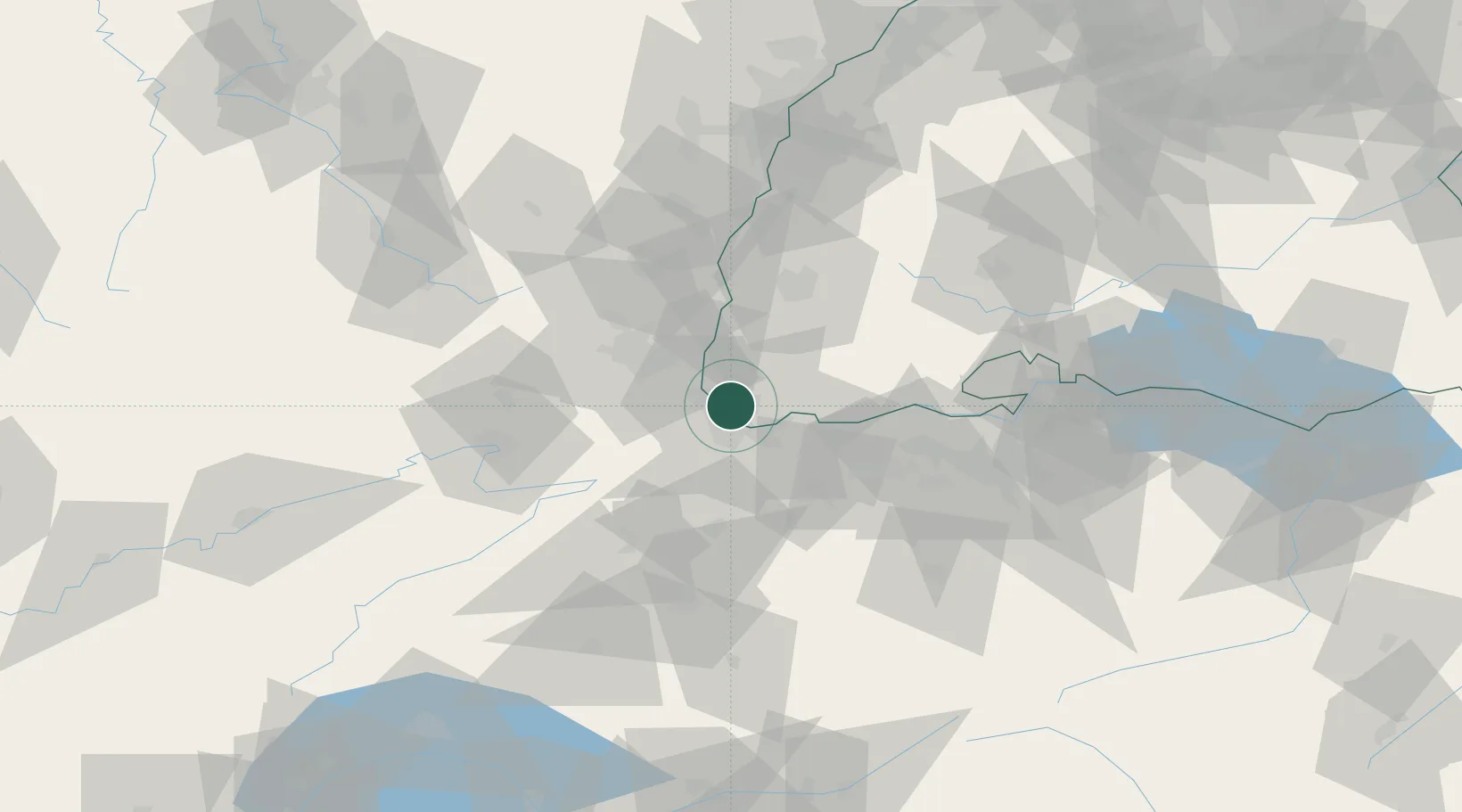
Hub Profile
Place type
Local administrative seat
Region
Baden-Wurttemberg
Population
2,661
Time zone
Europe/Berlin
Elevation
282 m
Location
Nearby Logistics Neighbours
Cities
- 1Weil am Rhein2 km
- 2Huningue3 km
- 3Village-Neuf4 km
- 4Wittlingen5 km
- 5Saint-Louis5 km
Ports
- 1Genova372 km
- 2Savona373 km
- 3Rada Di Vado378 km
- 4Chiavari - Lavagna391 km
- 5Imperia416 km
Airports
Trade Zones
- 1ZFU Mulhouse26 km
- 2ZFU Belfort61 km
- 3ZFU Montbéliard64 km
- 4ZFU Neuhof103 km
- 5ZFU Hautepierre109 km
DatabookThe Record of Consolidated Knowledge
Germany beyond logistics?