Transport Functions
Port
Rail
Road
Hub Profile
Place type
Populated place
Region
Baden-Wurttemberg
Time zone
Europe/Berlin
Elevation
345 m
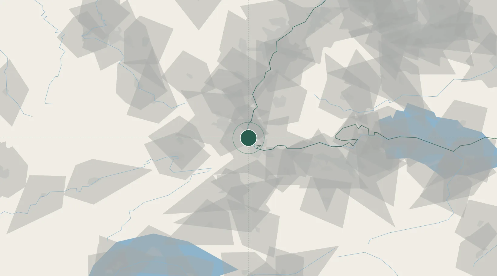
Location
Nearby Logistics Neighbours
Cities
- 1Kembs3 km
- 2Bartenheim6 km
- 3Village-Neuf8 km
- 4Huningue8 km
- 5Binzen8 km
Ports
- 1Genova379 km
- 2Savona380 km
- 3Rada Di Vado385 km
- 4Chiavari - Lavagna399 km
- 5Imperia423 km
Airports
Trade Zones
- 1ZFU Mulhouse17 km
- 2ZFU Belfort55 km
- 3ZFU Montbéliard59 km
- 4ZFU Neuhof99 km
- 5ZFU Hautepierre104 km
DatabookThe Record of Consolidated Knowledge
Germany beyond logistics?